
epw041316 ENGLAND (1933). The Melksham Urban District Council Sewage Works, Melksham, 1933

© Copyright OpenStreetMap contributors and licensed by the OpenStreetMap Foundation. 2024. Cartography is licensed as CC BY-SA.
Details
| Title | [EPW041316] The Melksham Urban District Council Sewage Works, Melksham, 1933 |
| Reference | EPW041316 |
| Date | May-1933 |
| Link | |
| Place name | MELKSHAM |
| Parish | MELKSHAM |
| District | |
| Country | ENGLAND |
| Easting / Northing | 389817, 164092 |
| Longitude / Latitude | -2.1463173172771, 51.375293543949 |
| National Grid Reference | ST898641 |
Pins


User Comment Contributions
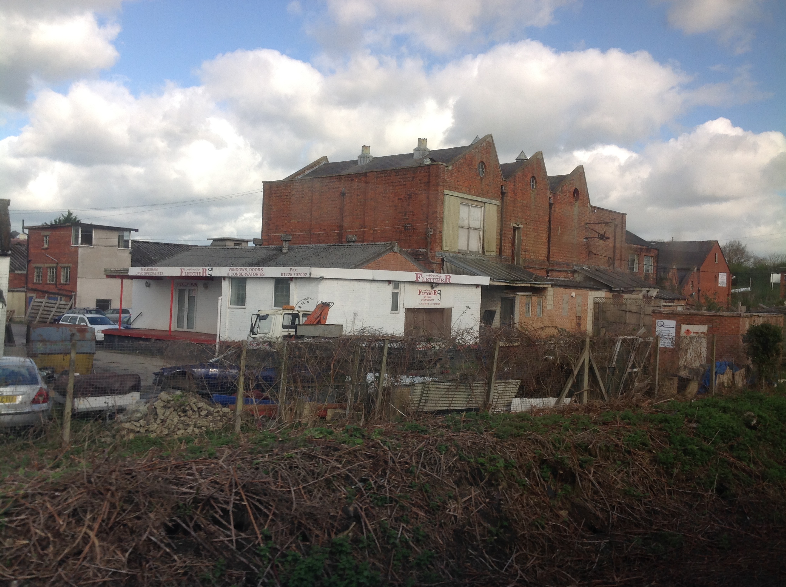 The old creamery from a northbound train 08/04/2014 |
 Class31 |
Thursday 10th of April 2014 01:31:21 PM |
 View north from the Bath Road railway bridge |
Class31 |
Wednesday 24th of July 2013 03:56:06 PM |
Shows Melksham Station which is served by a small number of trains each day. |
Class31 |
Wednesday 24th of July 2013 03:56:06 PM |


