
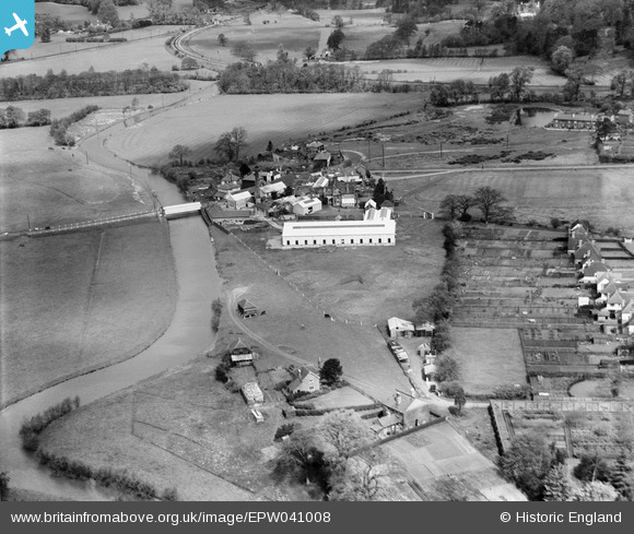
epw041008 ENGLAND (1933). The Broadford Vulcanised Fibre Mill and environs, Broadford, 1933
© Copyright OpenStreetMap contributors and licensed by the OpenStreetMap Foundation. 2024. Cartography is licensed as CC BY-SA.
Nearby Images (9)
EPW041008

EPW041005

EPW041007

EPW041006

EPW041013

EPW041010

EPW041012

EPW041009

EPW041011

Details
| Title | [EPW041008] The Broadford Vulcanised Fibre Mill and environs, Broadford, 1933 |
| Reference | EPW041008 |
| Date | April-1933 |
| Link | |
| Place name | BROADFORD |
| Parish | SHALFORD |
| District | |
| Country | ENGLAND |
| Easting / Northing | 499788, 146673 |
| Longitude / Latitude | -0.57127506214916, 51.210017227974 |
| National Grid Reference | SU998467 |
Pins
 Mr Nozzle |
Tuesday 18th of November 2014 06:31:53 PM |


