
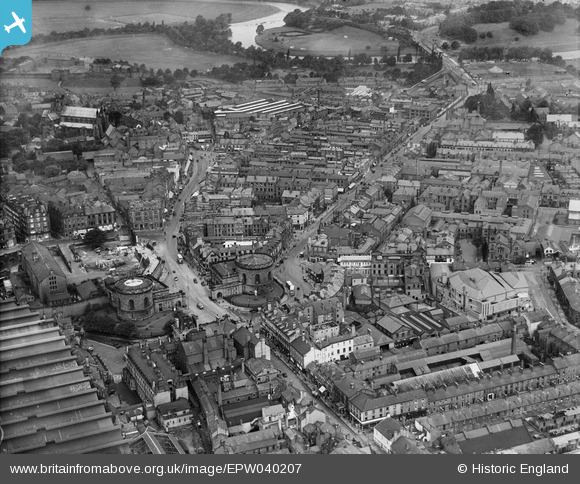
epw040207 ENGLAND (1932). The Citadel and the city centre, Carlisle, 1932
© Copyright OpenStreetMap contributors and licensed by the OpenStreetMap Foundation. 2024. Cartography is licensed as CC BY-SA.
Nearby Images (9)
EPW040207

EPW014359

EPW014370

EPW014374

EPW014357

EPW014361

EPW014351

EPW014373

EPW014363

Details
| Title | [EPW040207] The Citadel and the city centre, Carlisle, 1932 |
| Reference | EPW040207 |
| Date | 7-September-1932 |
| Link | |
| Place name | CARLISLE |
| Parish | |
| District | |
| Country | ENGLAND |
| Easting / Northing | 340237, 555753 |
| Longitude / Latitude | -2.9318788041743, 54.892851472522 |
| National Grid Reference | NY402558 |
Pins
 border reiver |
Sunday 3rd of August 2014 12:40:32 AM |


