
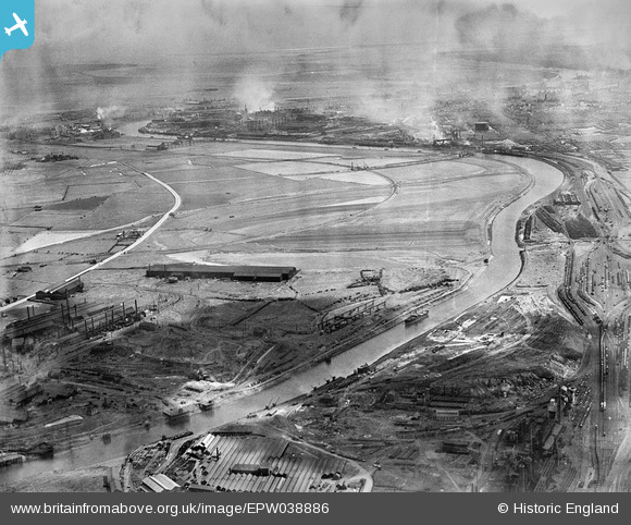
epw038886 ENGLAND (1932). The River Tees and The Marsh, Portrack, from the south-west, 1932
© Copyright OpenStreetMap contributors and licensed by the OpenStreetMap Foundation. 2024. Cartography is licensed as CC BY-SA.
Details
| Title | [EPW038886] The River Tees and The Marsh, Portrack, from the south-west, 1932 |
| Reference | EPW038886 |
| Date | July-1932 |
| Link | |
| Place name | PORTRACK |
| Parish | |
| District | |
| Country | ENGLAND |
| Easting / Northing | 445811, 519256 |
| Longitude / Latitude | -1.2913980136383, 54.566329270939 |
| National Grid Reference | NZ458193 |
Pins
 John Owens |
Monday 4th of May 2020 03:42:21 PM | |
John Owens |
Sunday 15th of October 2017 05:29:50 PM | |
John Owens |
Sunday 15th of October 2017 05:26:00 PM | |
Fred Starr |
Friday 25th of September 2015 06:11:05 PM | |
J May |
Wednesday 10th of June 2015 01:36:56 PM | |
J May |
Wednesday 10th of June 2015 01:28:51 PM | |
J May |
Wednesday 10th of June 2015 01:26:55 PM | |
J May |
Wednesday 10th of June 2015 01:24:13 PM | |
J May |
Wednesday 10th of June 2015 01:16:17 PM | |
jim |
Saturday 11th of April 2015 06:47:42 PM | |
J May |
Wednesday 11th of December 2013 06:48:10 PM | |
J May |
Wednesday 15th of May 2013 02:20:22 PM | |
J May |
Wednesday 15th of May 2013 02:15:09 PM |


