
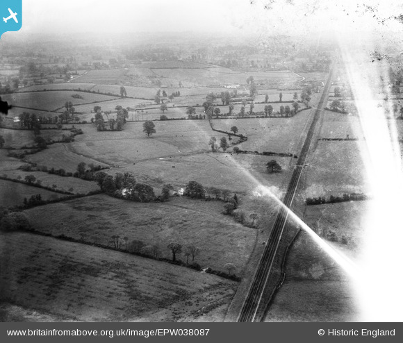
epw038087 ENGLAND (1932). The Clyst Valley, Whimple, from the south-west, 1932
© Copyright OpenStreetMap contributors and licensed by the OpenStreetMap Foundation. 2024. Cartography is licensed as CC BY-SA.
Details
| Title | [EPW038087] The Clyst Valley, Whimple, from the south-west, 1932 |
| Reference | EPW038087 |
| Date | May-1932 |
| Link | |
| Place name | WHIMPLE |
| Parish | WHIMPLE |
| District | |
| Country | ENGLAND |
| Easting / Northing | 302645, 96749 |
| Longitude / Latitude | -3.3805210327097, 50.761587556905 |
| National Grid Reference | SY026967 |
Pins
 John Wass |
Wednesday 27th of May 2015 10:00:47 PM |


