
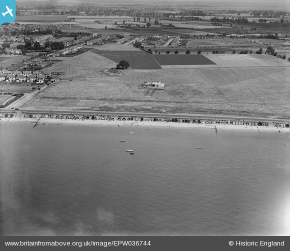
epw036744 ENGLAND (1931). A detached house alongside Thorpe Bay Esplanade and beach huts along the seafront, Thorpe Bay, 1931
© Copyright OpenStreetMap contributors and licensed by the OpenStreetMap Foundation. 2024. Cartography is licensed as CC BY-SA.
Nearby Images (6)
EPW036744

EPW040983

EPW036745

EPW036743

EPW036699

EPW040963

Details
| Title | [EPW036744] A detached house alongside Thorpe Bay Esplanade and beach huts along the seafront, Thorpe Bay, 1931 |
| Reference | EPW036744 |
| Date | September-1931 |
| Link | |
| Place name | THORPE BAY |
| Parish | |
| District | |
| Country | ENGLAND |
| Easting / Northing | 591610, 184578 |
| Longitude / Latitude | 0.76258737200367, 51.52707398186 |
| National Grid Reference | TQ916846 |
Pins
Be the first to add a comment to this image!


