
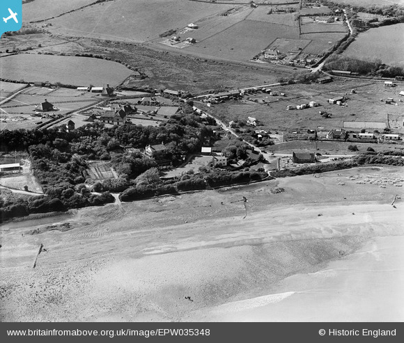
epw035348 ENGLAND (1931). The village, Cliff End, 1931
© Copyright OpenStreetMap contributors and licensed by the OpenStreetMap Foundation. 2024. Cartography is licensed as CC BY-SA.
Nearby Images (2)
EPW035348

EPW035350

Details
| Title | [EPW035348] The village, Cliff End, 1931 |
| Reference | EPW035348 |
| Date | 25-May-1931 |
| Link | |
| Place name | CLIFF END |
| Parish | PETT |
| District | |
| Country | ENGLAND |
| Easting / Northing | 588872, 113287 |
| Longitude / Latitude | 0.68562465369813, 50.887594273681 |
| National Grid Reference | TQ889133 |
Pins
Be the first to add a comment to this image!


