epw034319 ENGLAND (1930). The town, Bromyard, from the south-east, 1930

© Copyright OpenStreetMap contributors and licensed by the OpenStreetMap Foundation. 2024. Cartography is licensed as CC BY-SA.
Nearby Images (5)
EPW034319

EPW034484

EPW034447

EPW034318

EPW034317

Details
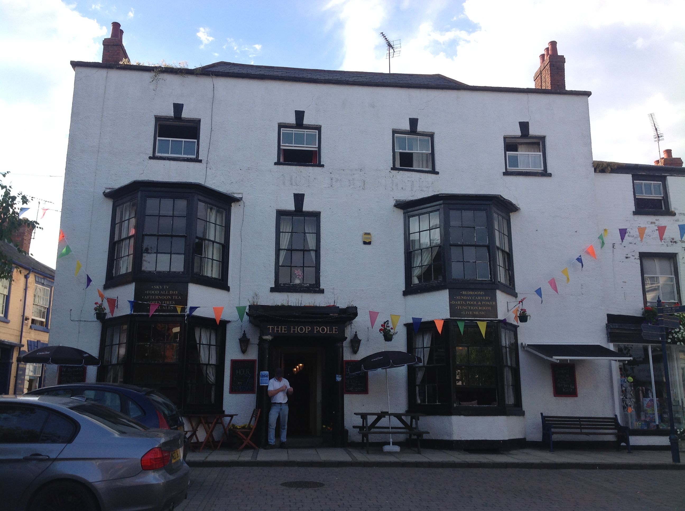
| Title | [EPW034319] The town, Bromyard, from the south-east, 1930 |
| Reference | EPW034319 |
| Date | July-1930 |
| Link | |
| Place name | BROMYARD |
| Parish | BROMYARD AND WINSLOW |
| District | |
| Country | ENGLAND |
| Easting / Northing | 365577, 254498 |
| Longitude / Latitude | -2.5035771460037, 52.187247843311 |
| National Grid Reference | SO656545 |
Pins
 John W |
Thursday 14th of July 2016 09:54:19 PM | |
John W |
Thursday 14th of July 2016 09:54:14 PM | |
 Class31 |
Sunday 27th of July 2014 08:12:21 AM | |
Class31 |
Sunday 27th of July 2014 07:58:25 AM | |
christhewino |
Friday 28th of December 2012 10:20:12 AM | |
Bromyard to Leominster closed 15/9/1952, to Worcester( actually Henwick) 7/9/1964 |
mannidaze |
Saturday 16th of May 2015 08:17:40 PM |
christhewino |
Friday 28th of December 2012 10:10:25 AM | |
christhewino |
Friday 28th of December 2012 10:09:27 AM | |
christhewino |
Friday 28th of December 2012 10:08:01 AM | |
christhewino |
Friday 28th of December 2012 10:07:29 AM |