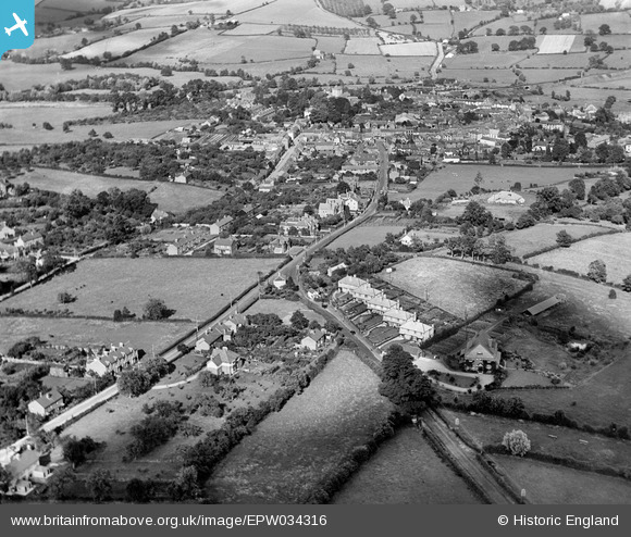
epw034316 ENGLAND (1930). The junction of West Hill and Hereford Road, Bromyard, 1930
© Copyright OpenStreetMap contributors and licensed by the OpenStreetMap Foundation. 2024. Cartography is licensed as CC BY-SA.
Details
| Title | [EPW034316] The junction of West Hill and Hereford Road, Bromyard, 1930 |
| Reference | EPW034316 |
| Date | July-1930 |
| Link | |
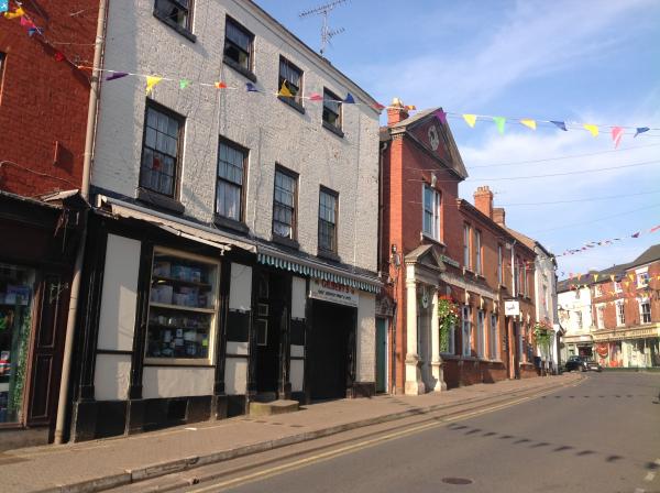
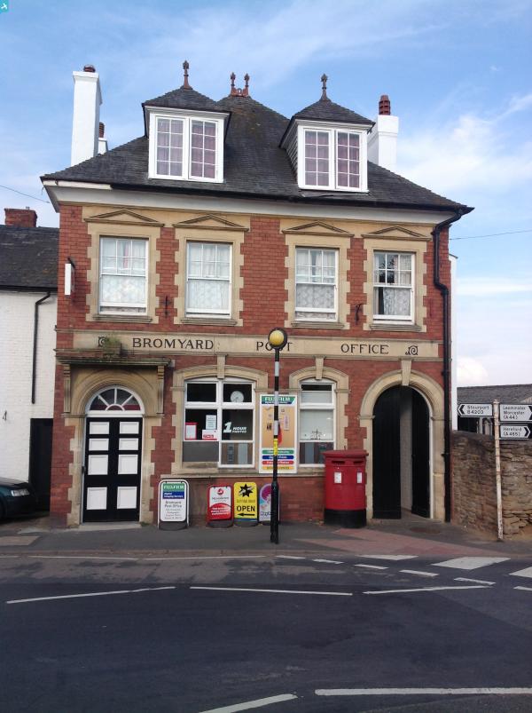
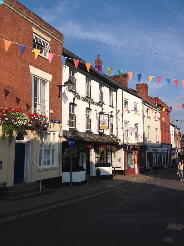
| Place name | BROMYARD |
| Parish | BROMYARD AND WINSLOW |
| District | |
| Country | ENGLAND |
| Easting / Northing | 364995, 254446 |
| Longitude / Latitude | -2.5120855395389, 52.186743663987 |
| National Grid Reference | SO650544 |
Pins
 John W |
Sunday 16th of April 2017 04:29:09 PM | |
currantbun |
Friday 25th of December 2015 12:54:18 AM | |
 Class31 |
Tuesday 2nd of December 2014 03:03:52 PM | |
Class31 |
Tuesday 2nd of December 2014 03:01:56 PM | |
Class31 |
Sunday 27th of July 2014 08:34:53 AM |