
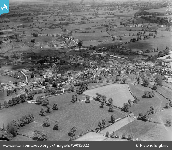
epw032622 ENGLAND (1930). The town and surrounding countryside, Malmesbury, 1930
© Copyright OpenStreetMap contributors and licensed by the OpenStreetMap Foundation. 2024. Cartography is licensed as CC BY-SA.
Nearby Images (3)
EPW032622

EPW032620

EAW018021

Details
| Title | [EPW032622] The town and surrounding countryside, Malmesbury, 1930 |
| Reference | EPW032622 |
| Date | June-1930 |
| Link | |
| Place name | MALMESBURY |
| Parish | MALMESBURY |
| District | |
| Country | ENGLAND |
| Easting / Northing | 392951, 187391 |
| Longitude / Latitude | -2.1017507976621, 51.584857925212 |
| National Grid Reference | ST930874 |


