
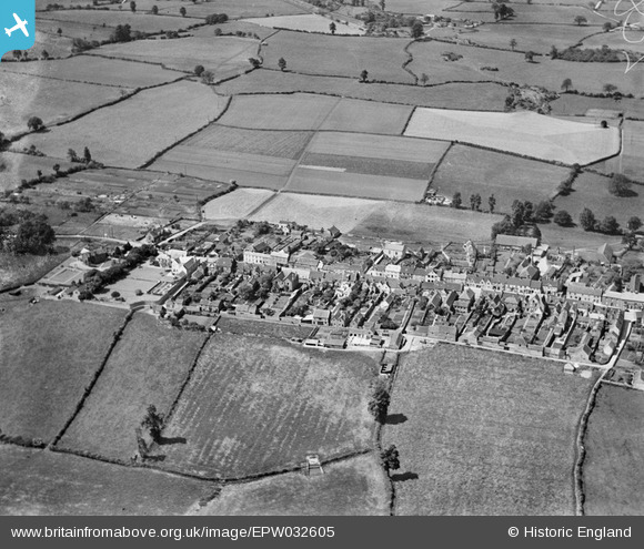
epw032605 ENGLAND (1930). The village and surrounding countryside, Wickwar, 1930
© Copyright OpenStreetMap contributors and licensed by the OpenStreetMap Foundation. 2024. Cartography is licensed as CC BY-SA.
Nearby Images (3)
EPW032605

EPW032602

EPW023917

Details
| Title | [EPW032605] The village and surrounding countryside, Wickwar, 1930 |
| Reference | EPW032605 |
| Date | June-1930 |
| Link | |
| Place name | WICKWAR |
| Parish | WICKWAR |
| District | |
| Country | ENGLAND |
| Easting / Northing | 372420, 188362 |
| Longitude / Latitude | -2.3981828513679, 51.592958303909 |
| National Grid Reference | ST724884 |
Pins
Be the first to add a comment to this image!


