
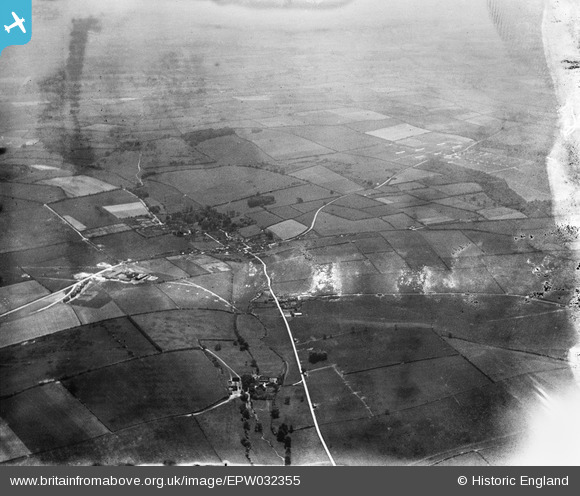
epw032355 ENGLAND (1930). Milborne St Andrew and surrounding countryside, Milborne St Andrew, from the north, 1930
© Copyright OpenStreetMap contributors and licensed by the OpenStreetMap Foundation. 2024. Cartography is licensed as CC BY-SA.
Details
| Title | [EPW032355] Milborne St Andrew and surrounding countryside, Milborne St Andrew, from the north, 1930 |
| Reference | EPW032355 |
| Date | June-1930 |
| Link | |
| Place name | MILBORNE ST ANDREW |
| Parish | MILBORNE ST. ANDREW |
| District | |
| Country | ENGLAND |
| Easting / Northing | 380316, 98191 |
| Longitude / Latitude | -2.2792433004145, 50.782392754114 |
| National Grid Reference | SY803982 |


