
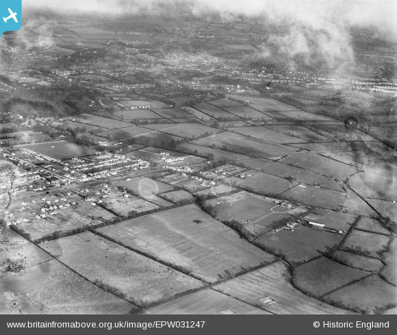
epw031247 ENGLAND (1930). Fieldend Road and environs, Eastcote, from the south-west, 1930. This image has been produced from a damaged negative.
© Copyright OpenStreetMap contributors and licensed by the OpenStreetMap Foundation. 2024. Cartography is licensed as CC BY-SA.
Nearby Images (2)
EPW031247

EPW031250

Details
| Title | [EPW031247] Fieldend Road and environs, Eastcote, from the south-west, 1930. This image has been produced from a damaged negative. |
| Reference | EPW031247 |
| Date | 7-February-1930 |
| Link | |
| Place name | EASTCOTE |
| Parish | |
| District | |
| Country | ENGLAND |
| Easting / Northing | 511010, 187167 |
| Longitude / Latitude | -0.39800119311454, 51.571953842818 |
| National Grid Reference | TQ110872 |
Pins
 Matt |
Tuesday 18th of February 2020 12:37:15 AM | |
 Class31 |
Saturday 5th of January 2013 09:06:13 AM | |
Class31 |
Saturday 20th of October 2012 10:12:09 PM | |
Class31 |
Friday 19th of October 2012 08:30:42 PM | |
Class31 |
Friday 19th of October 2012 08:30:14 PM | |
Class31 |
Friday 19th of October 2012 08:29:41 PM | |
Class31 |
Friday 19th of October 2012 08:29:06 PM | |
Class31 |
Friday 19th of October 2012 08:28:17 PM | |
Class31 |
Friday 19th of October 2012 08:27:36 PM | |
Class31 |
Friday 19th of October 2012 08:24:40 PM | |
Class31 |
Friday 19th of October 2012 08:24:20 PM | |
Class31 |
Thursday 18th of October 2012 09:35:01 PM | |
Class31 |
Thursday 18th of October 2012 09:34:22 PM | |
Class31 |
Thursday 18th of October 2012 09:33:47 PM | |
Class31 |
Thursday 18th of October 2012 09:33:16 PM |


