
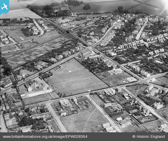
epw028364 ENGLAND (1929). St Hilda's Church and environs, Ashford, 1929
© Copyright OpenStreetMap contributors and licensed by the OpenStreetMap Foundation. 2024. Cartography is licensed as CC BY-SA.
Nearby Images (3)
EPW028364

EPW028357

EPW028363

Details
| Title | [EPW028364] St Hilda's Church and environs, Ashford, 1929 |
| Reference | EPW028364 |
| Date | 10-August-1929 |
| Link | |
| Place name | ASHFORD |
| Parish | |
| District | |
| Country | ENGLAND |
| Easting / Northing | 506238, 171655 |
| Longitude / Latitude | -0.47151257718887, 51.433431605056 |
| National Grid Reference | TQ062717 |
Pins
 Neil Smith |
Wednesday 11th of September 2013 04:46:43 PM | |
Neil Smith |
Wednesday 11th of September 2013 04:46:16 PM | |
Neil Smith |
Wednesday 11th of September 2013 04:45:55 PM |


