
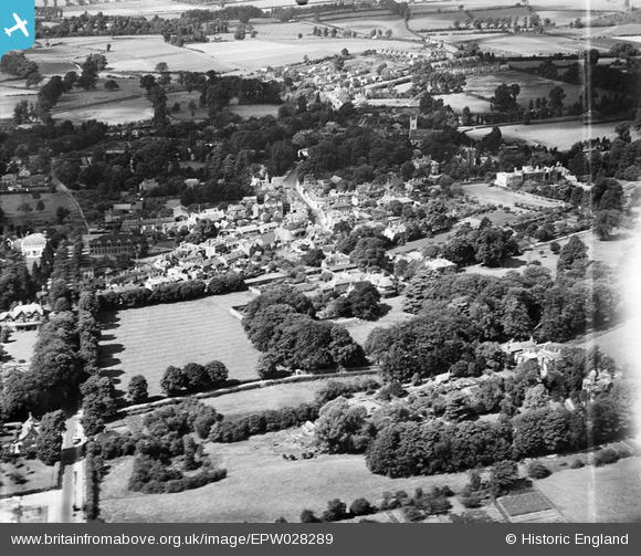
epw028289 ENGLAND (1929). The village, Ewell, from the south-east, 1929
© Copyright OpenStreetMap contributors and licensed by the OpenStreetMap Foundation. 2024. Cartography is licensed as CC BY-SA.
Nearby Images (5)
EPW028289

EPW028294

EPW008684

EPW028293

EPW008696

Details
| Title | [EPW028289] The village, Ewell, from the south-east, 1929 |
| Reference | EPW028289 |
| Date | August-1929 |
| Link | |
| Place name | EWELL |
| Parish | |
| District | |
| Country | ENGLAND |
| Easting / Northing | 522135, 162298 |
| Longitude / Latitude | -0.24612358163273, 51.346122326823 |
| National Grid Reference | TQ221623 |
Pins
Be the first to add a comment to this image!


