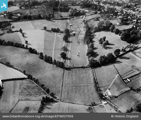
epw027656 ENGLAND (1929). The Boating Lake and environs, Warminster, 1929
© Copyright OpenStreetMap contributors and licensed by the OpenStreetMap Foundation. 2024. Cartography is licensed as CC BY-SA.
Nearby Images (2)
EPW027656

EPW027660

Details
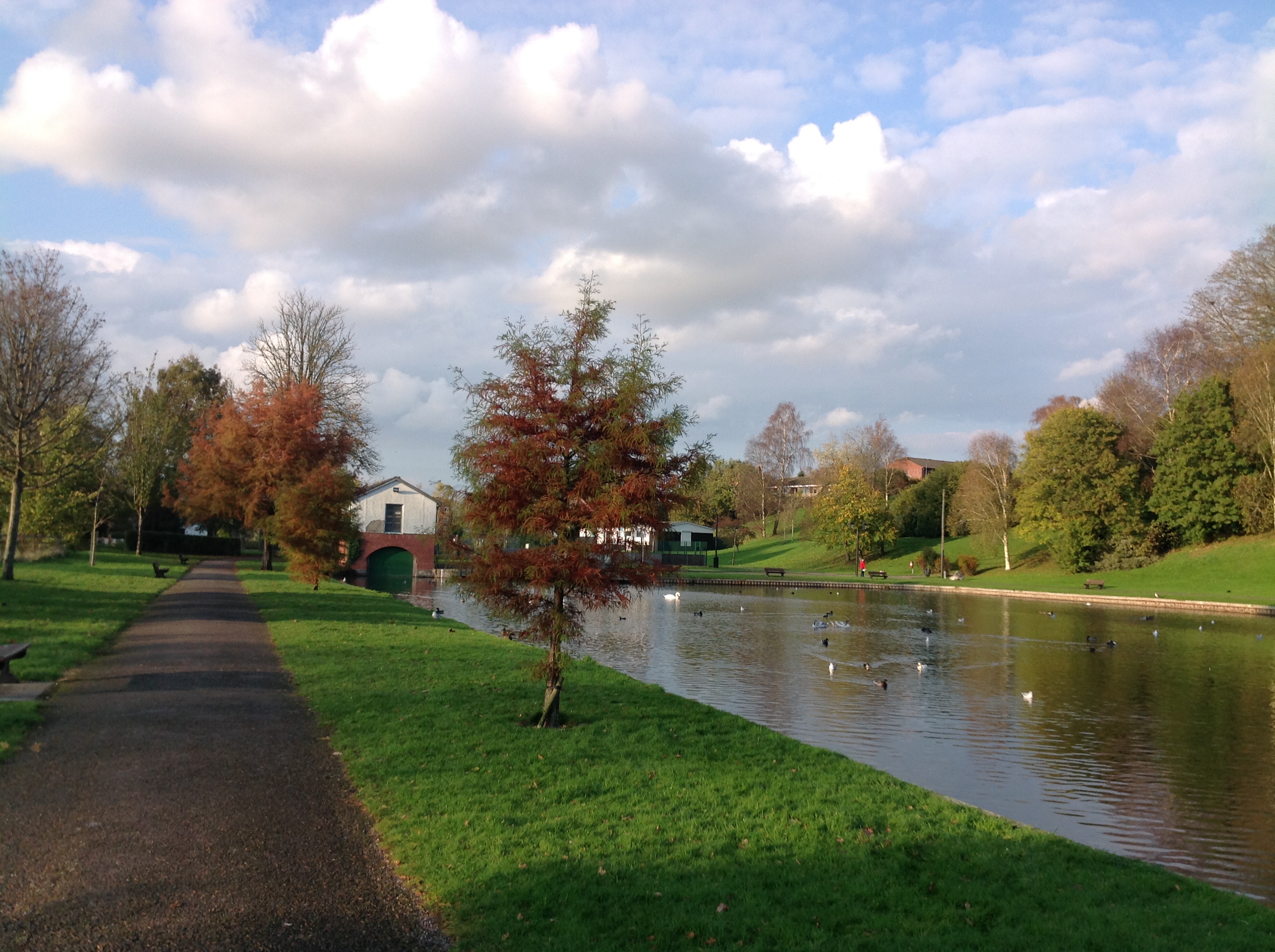
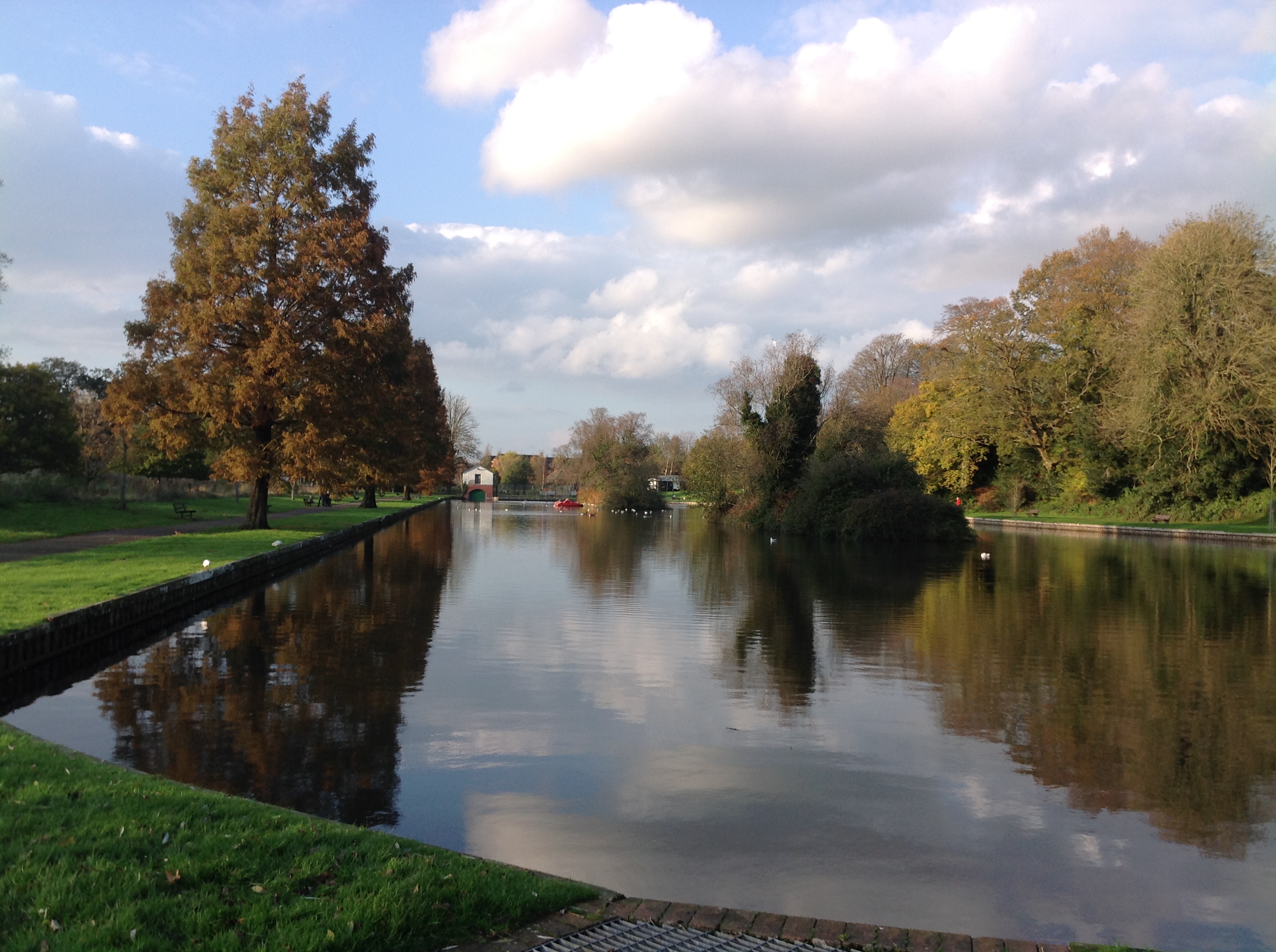
| Title | [EPW027656] The Boating Lake and environs, Warminster, 1929 |
| Reference | EPW027656 |
| Date | 21-June-1929 |
| Link | |
| Place name | WARMINSTER |
| Parish | WARMINSTER |
| District | |
| Country | ENGLAND |
| Easting / Northing | 387556, 144580 |
| Longitude / Latitude | -2.1781248687967, 51.199781153737 |
| National Grid Reference | ST876446 |
Pins
 Katherine Shields |
Thursday 9th of February 2017 09:24:42 PM | |
SteveD |
Wednesday 16th of December 2015 12:28:20 PM | |
SteveD |
Wednesday 16th of December 2015 12:27:40 PM | |
SteveD |
Wednesday 16th of December 2015 12:20:32 PM | |
SteveD |
Wednesday 16th of December 2015 12:00:23 PM | |
 Class31 |
Wednesday 24th of October 2012 10:04:21 AM | |
Class31 |
Saturday 20th of October 2012 07:59:39 PM | |
Class31 |
Saturday 20th of October 2012 12:55:19 PM | |
Class31 |
Saturday 20th of October 2012 12:54:50 PM | |
Class31 |
Saturday 20th of October 2012 12:54:24 PM | |
Class31 |
Saturday 20th of October 2012 12:53:27 PM | |
Class31 |
Saturday 20th of October 2012 12:52:45 PM | |
Class31 |
Saturday 20th of October 2012 12:52:29 PM |