
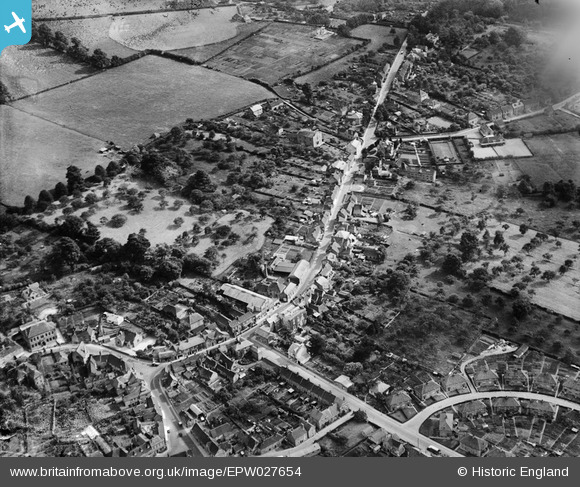
epw027654 ENGLAND (1929). Warminster Road and surrounding countryside, Westbury, 1929
© Copyright OpenStreetMap contributors and licensed by the OpenStreetMap Foundation. 2024. Cartography is licensed as CC BY-SA.
Nearby Images (3)
EPW027654

EPW027650

EPW027645

Details
| Title | [EPW027654] Warminster Road and surrounding countryside, Westbury, 1929 |
| Reference | EPW027654 |
| Date | 21-June-1929 |
| Link | |
| Place name | WESTBURY |
| Parish | WESTBURY |
| District | |
| Country | ENGLAND |
| Easting / Northing | 387220, 150987 |
| Longitude / Latitude | -2.1831629634734, 51.257391107069 |
| National Grid Reference | ST872510 |
Pins
 alastair wallace |
Sunday 20th of December 2015 11:48:13 PM | |
alastair wallace |
Sunday 20th of December 2015 11:47:16 PM | |
speedbudgie |
Thursday 29th of May 2014 10:57:31 PM | |
mikes place |
Monday 11th of March 2013 12:39:01 PM | |
mikes place |
Monday 11th of March 2013 12:35:44 PM | |
 Class31 |
Saturday 20th of October 2012 09:07:11 PM | |
Class31 |
Saturday 20th of October 2012 09:03:52 PM | |
Class31 |
Saturday 20th of October 2012 09:03:23 PM | |
Class31 |
Saturday 20th of October 2012 09:02:49 PM | |
Class31 |
Saturday 20th of October 2012 09:02:08 PM | |
Class31 |
Saturday 20th of October 2012 09:01:49 PM | |
Class31 |
Saturday 20th of October 2012 09:00:26 PM | |
Class31 |
Saturday 20th of October 2012 09:00:06 PM |
User Comment Contributions
Highlighted the wrong brewery - sorry. This isn't Meade's Oak Brewery but another one, possibly Bartletts but not sure. |
alastair wallace |
Thursday 5th of November 2015 10:34:06 PM |


