
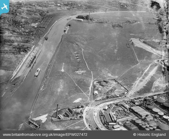
epw027472 ENGLAND (1929). Land near Shell-Mex at Ashburton Road and the Manchester Ship Canal, Trafford Park, 1929
© Copyright OpenStreetMap contributors and licensed by the OpenStreetMap Foundation. 2024. Cartography is licensed as CC BY-SA.
Nearby Images (3)
EPW027472

EPW045127

EPW045126

Details
| Title | [EPW027472] Land near Shell-Mex at Ashburton Road and the Manchester Ship Canal, Trafford Park, 1929 |
| Reference | EPW027472 |
| Date | 11-June-1929 |
| Link | |
| Place name | TRAFFORD PARK |
| Parish | |
| District | |
| Country | ENGLAND |
| Easting / Northing | 377521, 397801 |
| Longitude / Latitude | -2.3387272099277, 53.476204085325 |
| National Grid Reference | SJ775978 |
Pins
 Stretfordian |
Tuesday 17th of May 2016 01:07:00 AM | |
Stretfordian |
Tuesday 17th of May 2016 01:04:09 AM | |
This is actually Corn products Ltd Thomas Hederly's had not been built yet at this time |
Steve |
Thursday 26th of November 2020 07:23:14 AM |
Stretfordian |
Tuesday 17th of May 2016 01:00:55 AM | |
Stretfordian |
Tuesday 17th of May 2016 12:59:17 AM |


