
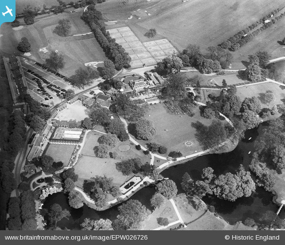
epw026726 ENGLAND (1929). The Ranelagh Club at Barn Elms Park, Barnes, 1929
© Copyright OpenStreetMap contributors and licensed by the OpenStreetMap Foundation. 2024. Cartography is licensed as CC BY-SA.
Nearby Images (4)
EPW026726

EPW026724

EPW026727

EPW026725

Details
| Title | [EPW026726] The Ranelagh Club at Barn Elms Park, Barnes, 1929 |
| Reference | EPW026726 |
| Date | 20-May-1929 |
| Link | |
| Place name | BARNES |
| Parish | |
| District | |
| Country | ENGLAND |
| Easting / Northing | 522912, 176568 |
| Longitude / Latitude | -0.23002439782498, 51.474218719747 |
| National Grid Reference | TQ229766 |
Pins
 John Llewellyn |
Monday 30th of November 2015 08:55:34 PM |


