
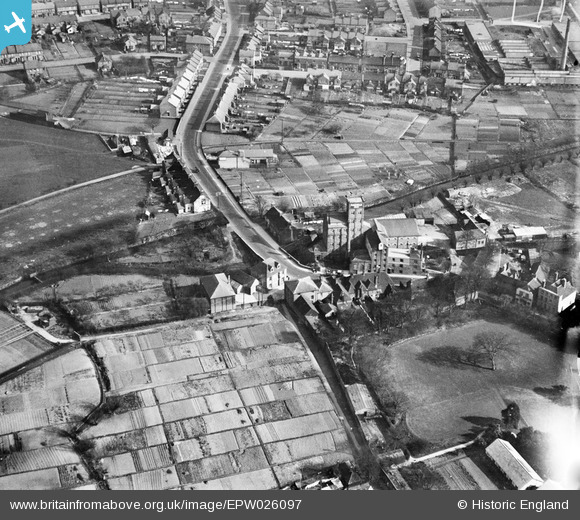
epw026097 ENGLAND (1929). Mill Bridge and The Victoria Flour Mills, Ashford, 1929
© Copyright OpenStreetMap contributors and licensed by the OpenStreetMap Foundation. 2024. Cartography is licensed as CC BY-SA.
Nearby Images (2)
EPW026097

EPW026061

Details
| Title | [EPW026097] Mill Bridge and The Victoria Flour Mills, Ashford, 1929 |
| Reference | EPW026097 |
| Date | April-1929 |
| Link | |
| Place name | ASHFORD |
| Parish | |
| District | |
| Country | ENGLAND |
| Easting / Northing | 601556, 142815 |
| Longitude / Latitude | 0.88215642046368, 51.148526608392 |
| National Grid Reference | TR016428 |
Pins
 Bushy |
Tuesday 16th of April 2019 10:13:44 PM |


