
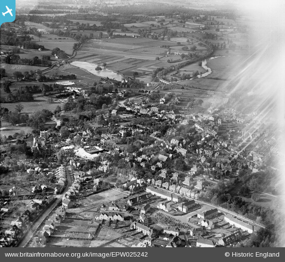
epw025242 ENGLAND (1928). The town and surrounding countryside, Leatherhead, from the east, 1928
© Copyright OpenStreetMap contributors and licensed by the OpenStreetMap Foundation. 2024. Cartography is licensed as CC BY-SA.
Nearby Images (7)
EPW025242

EAW037058

EAW037057

EPW032799

EPW025241

EPW001718

EAW049420

Details
| Title | [EPW025242] The town and surrounding countryside, Leatherhead, from the east, 1928 |
| Reference | EPW025242 |
| Date | 25-October-1928 |
| Link | |
| Place name | LEATHERHEAD |
| Parish | |
| District | |
| Country | ENGLAND |
| Easting / Northing | 516913, 156325 |
| Longitude / Latitude | -0.32303641316831, 51.293529931247 |
| National Grid Reference | TQ169563 |
Pins
 Walkers |
Sunday 9th of March 2014 04:58:53 PM |


