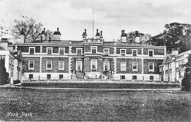
epw025159 ENGLAND (1928). The Knolls and Great Burgh, Nork, 1928
© Copyright OpenStreetMap contributors and licensed by the OpenStreetMap Foundation. 2024. Cartography is licensed as CC BY-SA.
Details
| Title | [EPW025159] The Knolls and Great Burgh, Nork, 1928 |
| Reference | EPW025159 |
| Date | October-1928 |
| Link | |
| Place name | NORK |
| Parish | |
| District | |
| Country | ENGLAND |
| Easting / Northing | 523408, 158807 |
| Longitude / Latitude | -0.22906199739737, 51.314468551993 |
| National Grid Reference | TQ234588 |
Pins
 Good Old Uncle Ted |
Saturday 1st of August 2015 01:31:12 PM |
User Comment Contributions
 That is Nork Park House in the top left, demolished 1939. The current Great Burgh in the foreground was built on the site of The Knolls in 1912 and is now the HQ of Toyota GB. |
 Good Old Uncle Ted |
Saturday 1st of August 2015 01:27:58 PM |


