
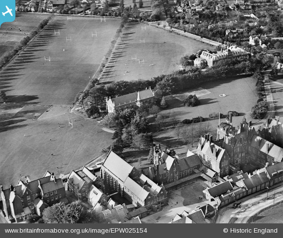
epw025154 ENGLAND (1928). Epsom College and St Luke's Chapel, Epsom, 1928
© Copyright OpenStreetMap contributors and licensed by the OpenStreetMap Foundation. 2024. Cartography is licensed as CC BY-SA.
Nearby Images (4)
EPW025154

EPW025141

EPW025152

EPW025151A

Details
| Title | [EPW025154] Epsom College and St Luke's Chapel, Epsom, 1928 |
| Reference | EPW025154 |
| Date | October-1928 |
| Link | |
| Place name | EPSOM |
| Parish | |
| District | |
| Country | ENGLAND |
| Easting / Northing | 522258, 160053 |
| Longitude / Latitude | -0.24512901975325, 51.325916614201 |
| National Grid Reference | TQ223601 |
Pins
Be the first to add a comment to this image!


