
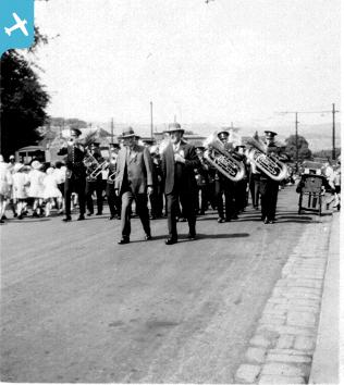
epw024461 ENGLAND (1928). St John the Baptist's Church and environs, Clayton, 1928

© Copyright OpenStreetMap contributors and licensed by the OpenStreetMap Foundation. 2024. Cartography is licensed as CC BY-SA.
Nearby Images (2)
EPW024461

EPW024462

Details
| Title | [EPW024461] St John the Baptist's Church and environs, Clayton, 1928 |
| Reference | EPW024461 |
| Date | September-1928 |
| Link | |
| Place name | CLAYTON |
| Parish | CLAYTON |
| District | |
| Country | ENGLAND |
| Easting / Northing | 411869, 431902 |
| Longitude / Latitude | -1.8198485152794, 53.783091735959 |
| National Grid Reference | SE119319 |
Pins
 |
 Badger |
Monday 22nd of October 2012 05:28:08 PM |
Badger |
Monday 22nd of October 2012 03:28:21 PM | |
Badger |
Monday 22nd of October 2012 03:27:34 PM | |
Badger |
Monday 22nd of October 2012 03:26:16 PM | |
Badger |
Monday 22nd of October 2012 03:24:50 PM | |
Badger |
Monday 22nd of October 2012 03:22:53 PM | |
Badger |
Monday 22nd of October 2012 03:22:19 PM | |
Badger |
Monday 22nd of October 2012 03:21:23 PM |


