
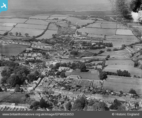
epw023653 ENGLAND (1928). Ridgeway and Colebrook, Plympton, from the south, 1928
© Copyright OpenStreetMap contributors and licensed by the OpenStreetMap Foundation. 2024. Cartography is licensed as CC BY-SA.
Details
| Title | [EPW023653] Ridgeway and Colebrook, Plympton, from the south, 1928 |
| Reference | EPW023653 |
| Date | September-1928 |
| Link | |
| Place name | PLYMPTON |
| Parish | |
| District | |
| Country | ENGLAND |
| Easting / Northing | 254151, 56360 |
| Longitude / Latitude | -4.0519452530403, 50.388403319293 |
| National Grid Reference | SX542564 |
Pins
 Kim Watson |
Thursday 8th of October 2020 06:50:07 PM | |
Tim |
Friday 14th of November 2014 06:38:48 PM | |
Tim |
Friday 14th of November 2014 06:35:18 PM | |
MB |
Monday 3rd of September 2012 10:59:55 AM |


