
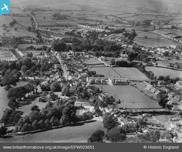
epw023651 ENGLAND (1928). Ridgeway and Colebrook, Plympton, from the south-east, 1928
© Copyright OpenStreetMap contributors and licensed by the OpenStreetMap Foundation. 2024. Cartography is licensed as CC BY-SA.
Details
| Title | [EPW023651] Ridgeway and Colebrook, Plympton, from the south-east, 1928 |
| Reference | EPW023651 |
| Date | September-1928 |
| Link | |
| Place name | PLYMPTON |
| Parish | |
| District | |
| Country | ENGLAND |
| Easting / Northing | 254457, 56165 |
| Longitude / Latitude | -4.0475675633395, 50.386726405019 |
| National Grid Reference | SX545562 |
Pins
 Tim |
Friday 14th of November 2014 06:30:17 PM | |
Tim |
Friday 14th of November 2014 06:22:46 PM | |
Tim |
Friday 14th of November 2014 06:19:29 PM | |
Tim |
Friday 14th of November 2014 06:17:01 PM | |
Nowy Paul |
Sunday 21st of October 2012 02:20:53 PM | |
Nowy Paul |
Sunday 21st of October 2012 02:19:15 PM | |
Nowy Paul |
Sunday 21st of October 2012 02:18:09 PM |


