
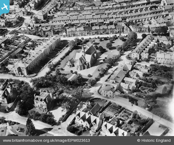
epw023613 ENGLAND (1928). St Paul's Church, Newton Abbot, 1928
© Copyright OpenStreetMap contributors and licensed by the OpenStreetMap Foundation. 2024. Cartography is licensed as CC BY-SA.
Nearby Images (8)
EPW023613

EPW039820

EPW033394

EPW039817

EPW033398

EPW039816

EPW033392

EPW033393

Details
| Title | [EPW023613] St Paul's Church, Newton Abbot, 1928 |
| Reference | EPW023613 |
| Date | September-1928 |
| Link | |
| Place name | NEWTON ABBOT |
| Parish | NEWTON ABBOT |
| District | |
| Country | ENGLAND |
| Easting / Northing | 286436, 71195 |
| Longitude / Latitude | -3.6024446560691, 50.528903248633 |
| National Grid Reference | SX864712 |
Pins
Be the first to add a comment to this image!


