
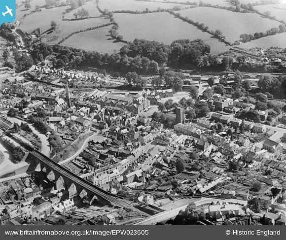
epw023605 ENGLAND (1928). Bedford Square and the town centre, Tavistock, 1928
© Copyright OpenStreetMap contributors and licensed by the OpenStreetMap Foundation. 2024. Cartography is licensed as CC BY-SA.
Nearby Images (7)
EPW023605

EPW023599

EPW023604

EPW023596

EPW023595

EPW011304

EPW023602

Details
| Title | [EPW023605] Bedford Square and the town centre, Tavistock, 1928 |
| Reference | EPW023605 |
| Date | September-1928 |
| Link | |
| Place name | TAVISTOCK |
| Parish | TAVISTOCK |
| District | |
| Country | ENGLAND |
| Easting / Northing | 248174, 74454 |
| Longitude / Latitude | -4.1433169578525, 50.549515744474 |
| National Grid Reference | SX482745 |
Pins
 21TR |
Thursday 15th of February 2024 02:09:08 PM | |
LionStevieG |
Tuesday 29th of December 2015 02:15:34 PM | |
 Class31 |
Wednesday 17th of September 2014 01:02:30 PM | |
Class31 |
Wednesday 17th of September 2014 01:00:08 PM | |
Lynda Tubbs |
Tuesday 10th of December 2013 11:51:42 AM | |
Rev Rog |
Tuesday 5th of November 2013 12:31:35 PM | |
MB |
Tuesday 11th of September 2012 02:45:55 PM | |
MB |
Tuesday 11th of September 2012 02:44:38 PM | |
MB |
Tuesday 11th of September 2012 02:44:12 PM | |
MB |
Tuesday 11th of September 2012 02:43:07 PM | |
MB |
Tuesday 11th of September 2012 02:41:53 PM | |
Class31 |
Thursday 28th of June 2012 08:09:12 PM |

User Comment Contributions
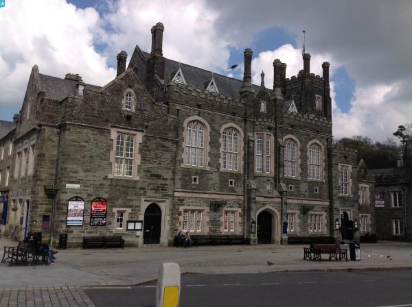
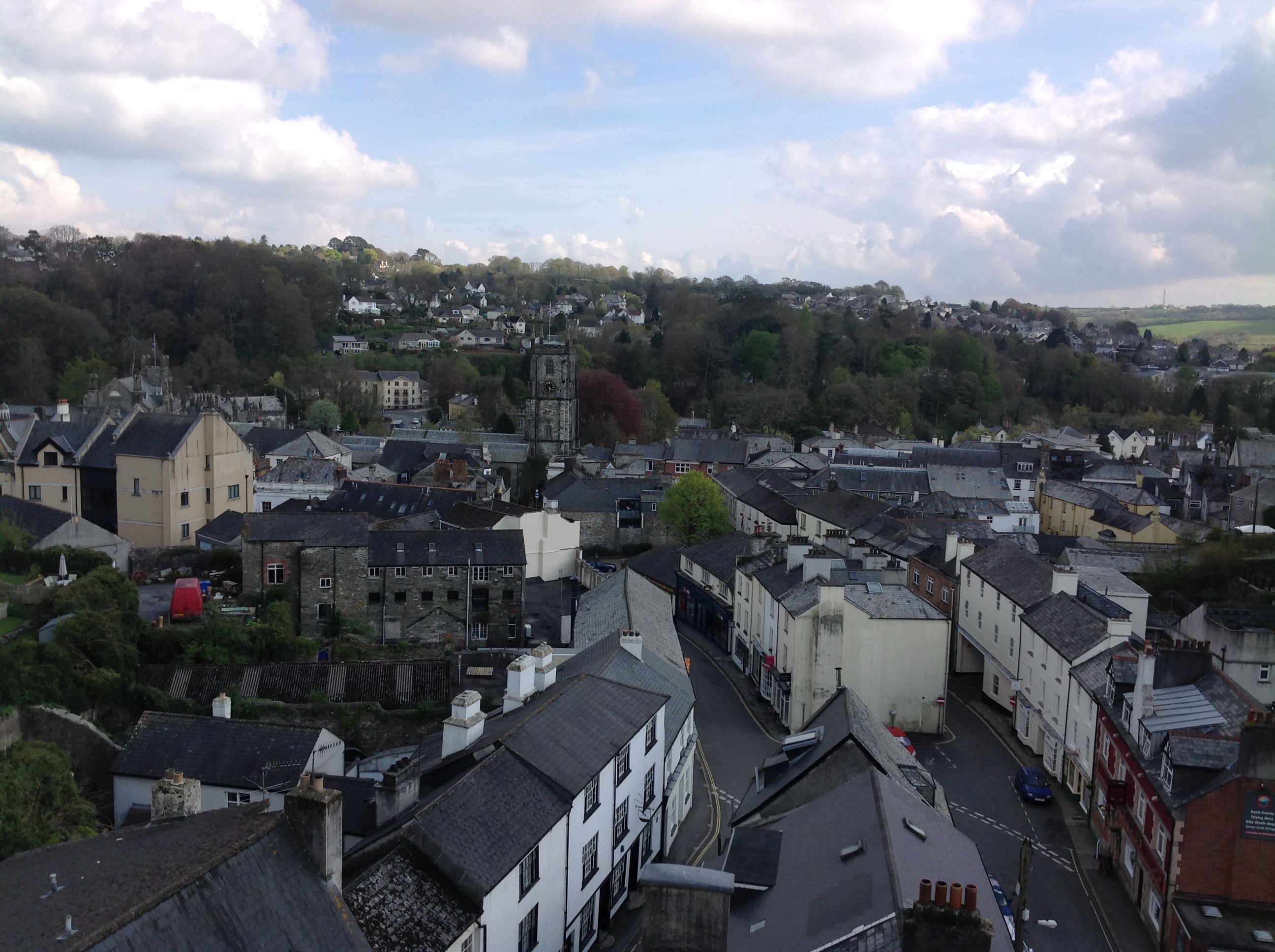 View from the railway viaduct 21/04/2014 |
Class31 |
Friday 25th of April 2014 11:58:37 AM |


