
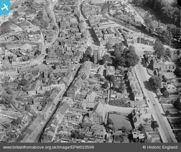
epw023596 ENGLAND (1928). The church of St Eustachius and the town centre, Tavistock, 1928
© Copyright OpenStreetMap contributors and licensed by the OpenStreetMap Foundation. 2024. Cartography is licensed as CC BY-SA.
Nearby Images (7)
EPW023596

EPW023595

EPW023599

EPW023605

EPW011304

EPW023604

EPW023602

Details
| Title | [EPW023596] The church of St Eustachius and the town centre, Tavistock, 1928 |
| Reference | EPW023596 |
| Date | September-1928 |
| Link | |
| Place name | TAVISTOCK |
| Parish | TAVISTOCK |
| District | |
| Country | ENGLAND |
| Easting / Northing | 248074, 74418 |
| Longitude / Latitude | -4.1447129127412, 50.549166206523 |
| National Grid Reference | SX481744 |
Pins
 LionStevieG |
Tuesday 29th of December 2015 02:18:57 PM | |
LionStevieG |
Tuesday 29th of December 2015 02:18:21 PM | |
 Class31 |
Monday 28th of April 2014 04:59:12 PM | |
Lynda Tubbs |
Tuesday 10th of December 2013 12:14:21 PM | |
Rev Rog |
Sunday 3rd of November 2013 09:21:32 AM | |
Rev Rog |
Sunday 3rd of November 2013 09:19:48 AM |

User Comment Contributions
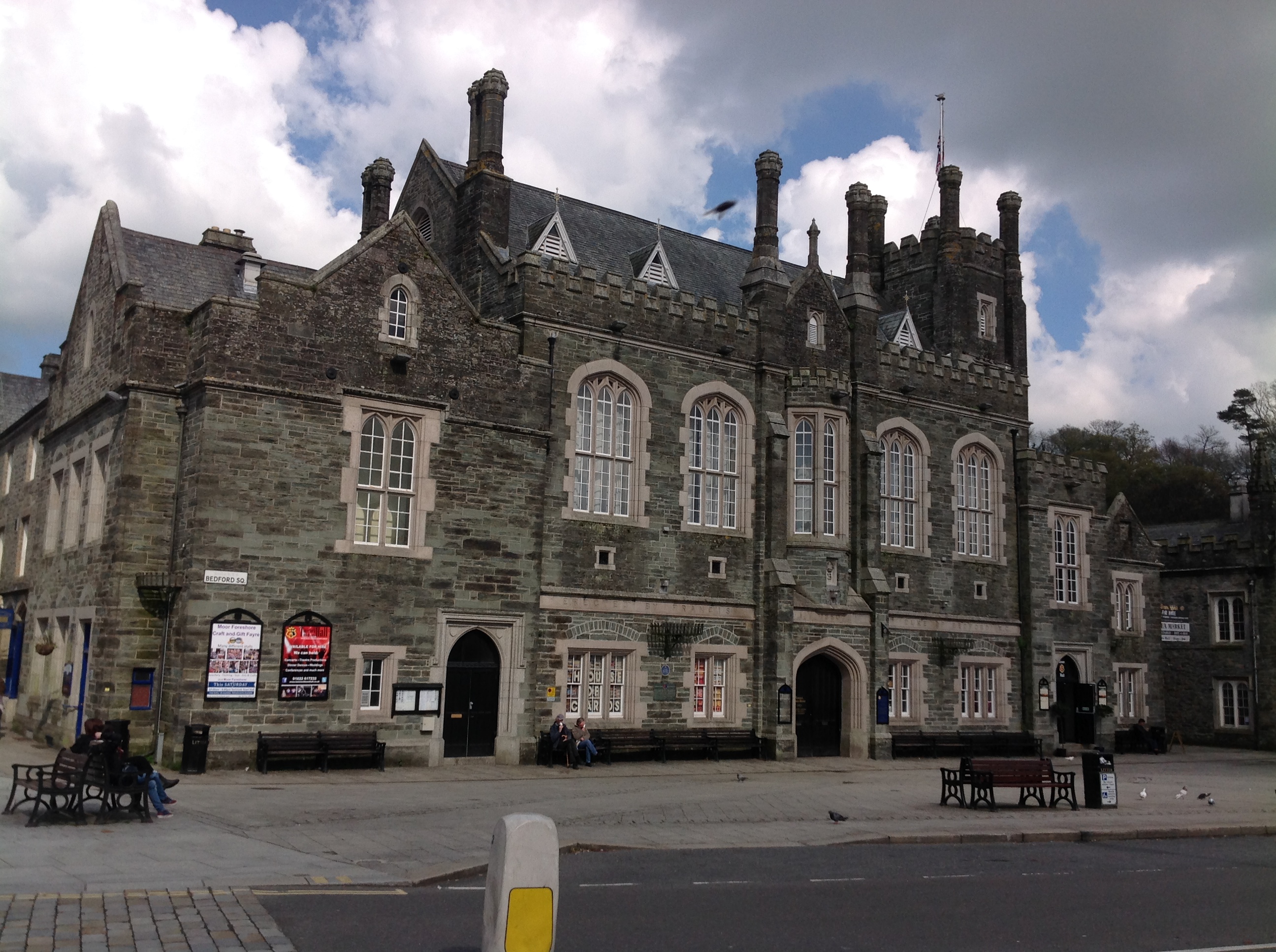 Town Hall 21/04/2014 |
Class31 |
Friday 25th of April 2014 11:45:16 AM |
This photograph also shows Tavistock Congregational Church in the background. It has a tall spire. In the foreground is a Methodist Church which the Congregational Church moved to in 1960/61 and which is now Tavistock United reformed Church. |
Rev Rog |
Sunday 3rd of November 2013 09:17:11 AM |


