
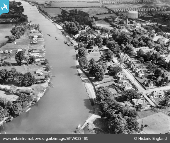
epw023465 ENGLAND (1928). The Walton on Thames and Weybridge Gas Works and River Mount, Walton-on-Thames, 1928
© Copyright OpenStreetMap contributors and licensed by the OpenStreetMap Foundation. 2024. Cartography is licensed as CC BY-SA.
Nearby Images (3)
EPW023465

EPW023464

EPW049554

Details
| Title | [EPW023465] The Walton on Thames and Weybridge Gas Works and River Mount, Walton-on-Thames, 1928 |
| Reference | EPW023465 |
| Date | September-1928 |
| Link | |
| Place name | WALTON-ON-THAMES |
| Parish | |
| District | |
| Country | ENGLAND |
| Easting / Northing | 509693, 166691 |
| Longitude / Latitude | -0.42335996952366, 51.388150539506 |
| National Grid Reference | TQ097667 |
Pins
 Dave Wedd |
Thursday 4th of July 2013 03:19:09 PM | |
Dave Wedd |
Thursday 4th of July 2013 03:12:50 PM | |
Dave Wedd |
Thursday 4th of July 2013 02:42:33 PM | |
Dave Wedd |
Thursday 4th of July 2013 02:17:26 PM | |
Dave Wedd |
Thursday 4th of July 2013 01:52:24 PM | |
Dave Wedd |
Thursday 4th of July 2013 01:51:22 PM | |
Dave Wedd |
Thursday 4th of July 2013 01:49:16 PM | |
Dave Wedd |
Thursday 4th of July 2013 01:46:08 PM | |
Dave Wedd |
Thursday 4th of July 2013 01:42:39 PM | |
Dave Wedd |
Thursday 4th of July 2013 01:41:06 PM |


