
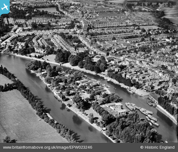
epw023246 ENGLAND (1928). Eel Pie Island and surroundings, Twickenham, 1928
© Copyright OpenStreetMap contributors and licensed by the OpenStreetMap Foundation. 2024. Cartography is licensed as CC BY-SA.
Nearby Images (8)
EPW023246

EPW023239

EAW025281

EAW025280

EPW022846

EPW023238

EPR000467

EAW025282

Details
| Title | [EPW023246] Eel Pie Island and surroundings, Twickenham, 1928 |
| Reference | EPW023246 |
| Date | September-1928 |
| Link | |
| Place name | TWICKENHAM |
| Parish | |
| District | |
| Country | ENGLAND |
| Easting / Northing | 516338, 173157 |
| Longitude / Latitude | -0.32577004403126, 51.444948517571 |
| National Grid Reference | TQ163732 |
Pins
 |
 Leslie B |
Saturday 16th of December 2023 04:04:05 PM |
Brian |
Saturday 14th of February 2015 05:01:52 PM | |
Brian |
Saturday 14th of February 2015 04:28:09 PM | |
Arty |
Friday 13th of July 2012 05:08:23 PM | |
Arty |
Friday 13th of July 2012 05:07:48 PM | |
Arty |
Friday 13th of July 2012 05:06:12 PM | |
Arty |
Friday 13th of July 2012 05:05:36 PM | |
Arty |
Friday 13th of July 2012 05:03:47 PM |


