
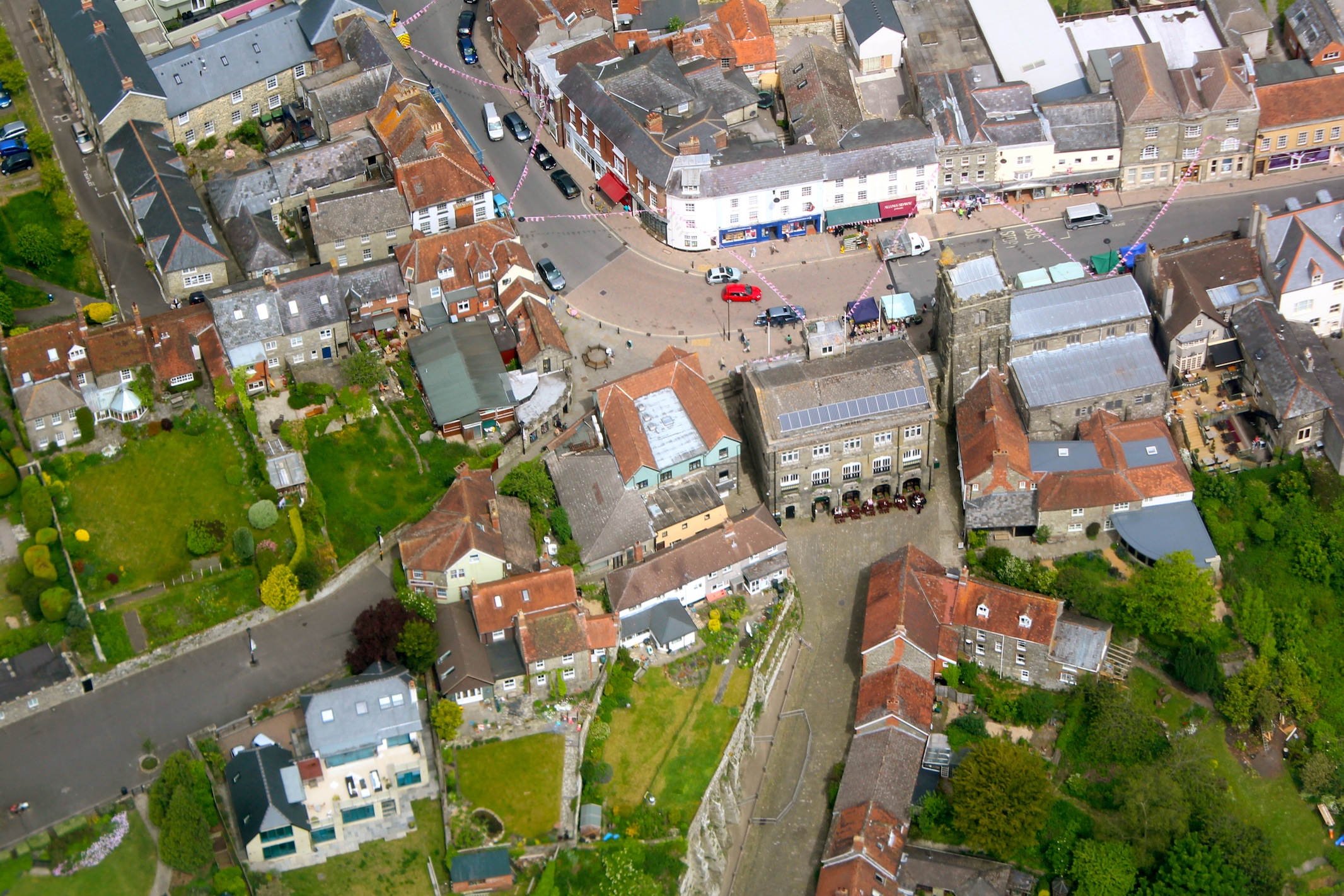
epw023197 ENGLAND (1928). The town centre, Shaftesbury, 1928

© Copyright OpenStreetMap contributors and licensed by the OpenStreetMap Foundation. 2024. Cartography is licensed as CC BY-SA.
Nearby Images (9)
EPW023197

EPW023196

EPW023195

EPW023193

EPW023192

EAW051923

EAW051924

EPW023198

EPW023188

Details
| Title | [EPW023197] The town centre, Shaftesbury, 1928 |
| Reference | EPW023197 |
| Date | September-1928 |
| Link | |
| Place name | SHAFTESBURY |
| Parish | SHAFTESBURY |
| District | |
| Country | ENGLAND |
| Easting / Northing | 386223, 122947 |
| Longitude / Latitude | -2.196379464131, 51.005203563447 |
| National Grid Reference | ST862229 |
Pins
 Class31 |
Monday 6th of August 2012 08:07:28 AM | |
Class31 |
Monday 6th of August 2012 08:07:14 AM | |
Class31 |
Tuesday 31st of July 2012 09:21:12 PM | |
Class31 |
Tuesday 31st of July 2012 09:20:07 PM | |
Class31 |
Tuesday 31st of July 2012 09:09:14 PM | |
Class31 |
Tuesday 31st of July 2012 09:07:07 PM | |
 burntbacon |
Saturday 30th of June 2012 12:54:26 PM | |
burntbacon |
Saturday 30th of June 2012 12:53:01 PM |
User Comment Contributions
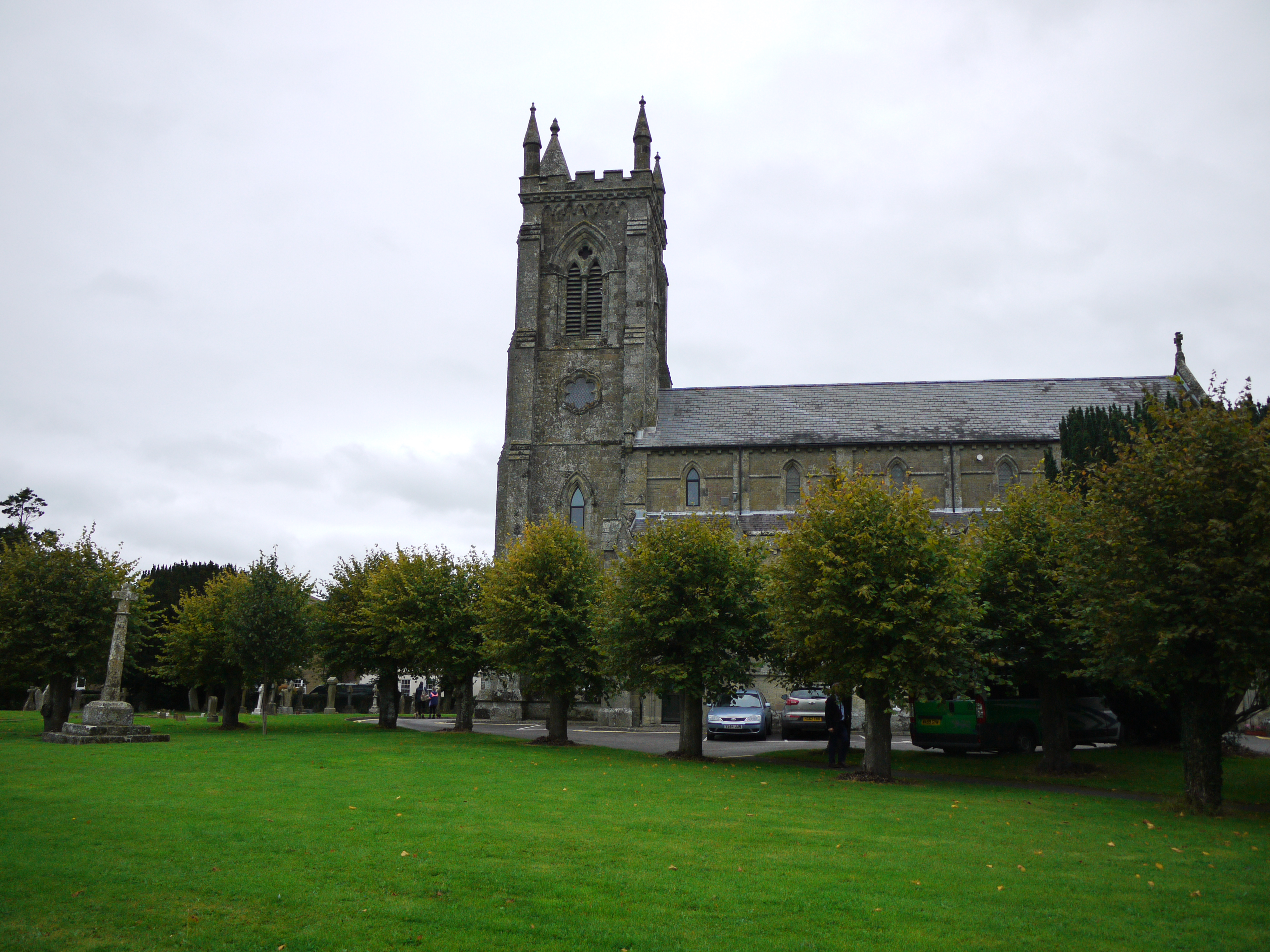 Holy Trinity Church, Shaftesbury, 16/09/2015 |
Class31 |
Friday 18th of September 2015 11:04:25 AM |
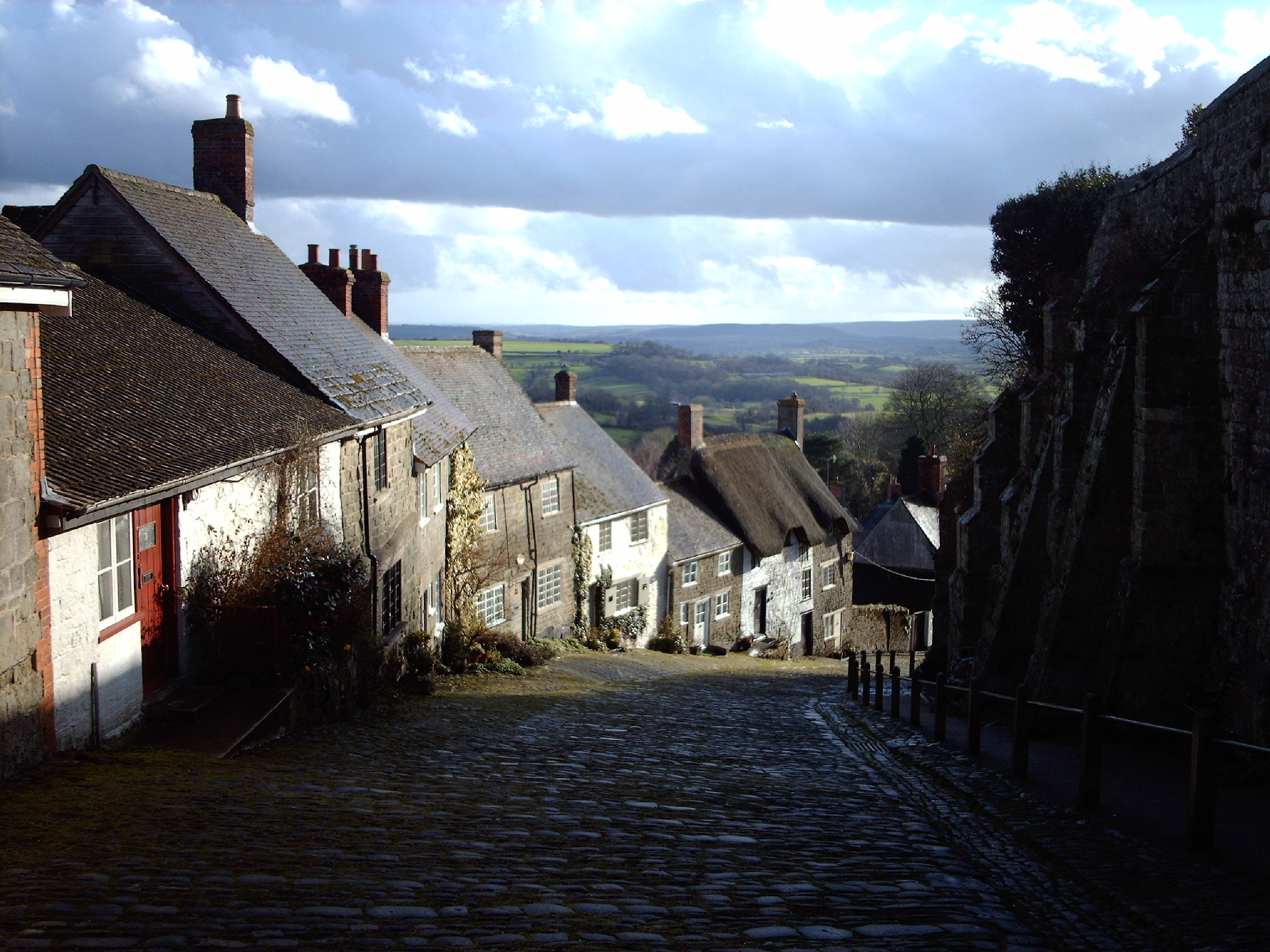 Gold Hill |
Class31 |
Saturday 22nd of June 2013 08:55:53 PM |
 Here's pretty much the same view taken a view weeks ago right before the Diamond Jubilee celebrations. |
anglotopia |
Thursday 11th of October 2012 11:56:32 AM |
Many thanks for adding this great photo to our site Anglotopia. It's interesting to see some views have stayed much the same. |
Paul Marks |
Thursday 11th of October 2012 11:56:32 AM |


