
epw023190 ENGLAND (1928). Shaftesbury and surroundings, Shaftesbury, from the south-east, 1928

© Copyright OpenStreetMap contributors and licensed by the OpenStreetMap Foundation. 2024. Cartography is licensed as CC BY-SA.
Nearby Images (3)
EPW023190

EPW023199

EPW023191

Details
| Title | [EPW023190] Shaftesbury and surroundings, Shaftesbury, from the south-east, 1928 |
| Reference | EPW023190 |
| Date | September-1928 |
| Link | |
| Place name | SHAFTESBURY |
| Parish | SHAFTESBURY |
| District | |
| Country | ENGLAND |
| Easting / Northing | 386675, 122855 |
| Longitude / Latitude | -2.1899332469412, 51.004386837957 |
| National Grid Reference | ST867229 |
Pins
 Liz |
Saturday 24th of October 2020 01:55:57 PM | |
dhayter |
Friday 6th of June 2014 09:20:12 PM | |
 Class31 |
Tuesday 31st of July 2012 09:31:41 PM | |
Class31 |
Tuesday 31st of July 2012 09:30:42 PM | |
Class31 |
Tuesday 31st of July 2012 09:29:49 PM | |
Class31 |
Tuesday 31st of July 2012 09:28:00 PM |
User Comment Contributions
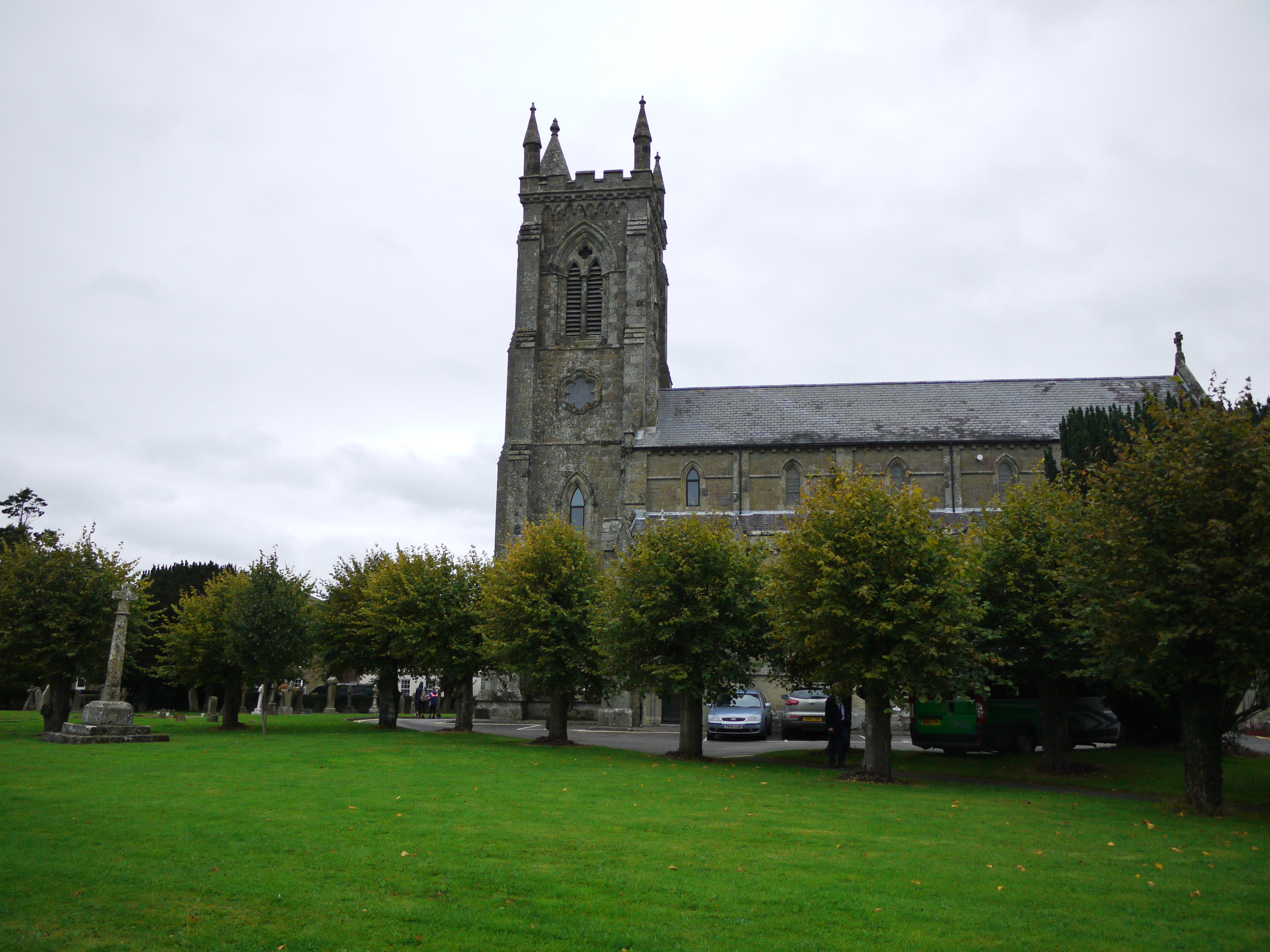 Holy Trinity Church, Shaftesbury, 16/09/2015 |
Class31 |
Friday 18th of September 2015 10:48:18 AM |


