
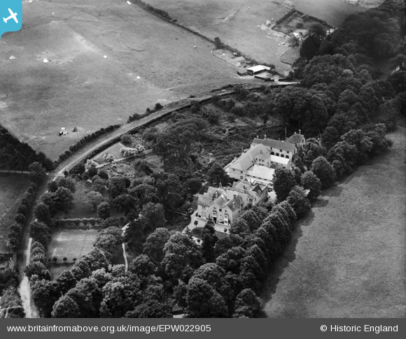
epw022905 ENGLAND (1928). Upper Chine Girls School, Shanklin, 1928
© Copyright OpenStreetMap contributors and licensed by the OpenStreetMap Foundation. 2024. Cartography is licensed as CC BY-SA.
Nearby Images (20)
EPW022905

EPW022906

EPW022907

EPW022908

EPW022904

EPW022909

EPW024574

EPW024576

EPW024566

EPW024573

EPW024565

EPW024570

EPW024569

EPW024577

EPW024571

EPW024567

EPW024568

EPW024572

EPW024575

EAW028275

Details
| Title | [EPW022905] Upper Chine Girls School, Shanklin, 1928 |
| Reference | EPW022905 |
| Date | August-1928 |
| Link | |
| Place name | SHANKLIN |
| Parish | SHANKLIN |
| District | |
| Country | ENGLAND |
| Easting / Northing | 458040, 80598 |
| Longitude / Latitude | -1.1794325799927, 50.621610775732 |
| National Grid Reference | SZ580806 |
Pins
Be the first to add a comment to this image!


