
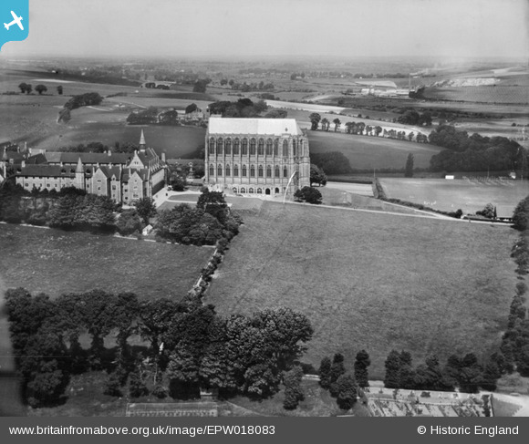
epw018083 ENGLAND (1927). St Mary and St Nicolas' College, Lancing, 1927
© Copyright OpenStreetMap contributors and licensed by the OpenStreetMap Foundation. 2024. Cartography is licensed as CC BY-SA.
Nearby Images (7)
EPW018083

EPW000724

EAW026855

EAW026854

EPW000687

EAW039312

EAW014363
 College, Lancing, 1948")
Details
| Title | [EPW018083] St Mary and St Nicolas' College, Lancing, 1927 |
| Reference | EPW018083 |
| Date | May-1927 |
| Link | |
| Place name | LANCING |
| Parish | LANCING |
| District | |
| Country | ENGLAND |
| Easting / Northing | 519623, 106549 |
| Longitude / Latitude | -0.30065314997427, 50.845521897163 |
| National Grid Reference | TQ196065 |
Pins
 Dylan Moore |
Monday 17th of November 2014 10:51:12 AM | |
 Biggles1951 |
Friday 16th of November 2012 12:55:18 PM |
User Comment Contributions
 Lancing College from Shoreham-by-Sea |
 Alan McFaden |
Friday 7th of November 2014 05:34:56 PM |
 Lancing College from Shoreham Airport |
Alan McFaden |
Friday 7th of November 2014 05:34:25 PM |
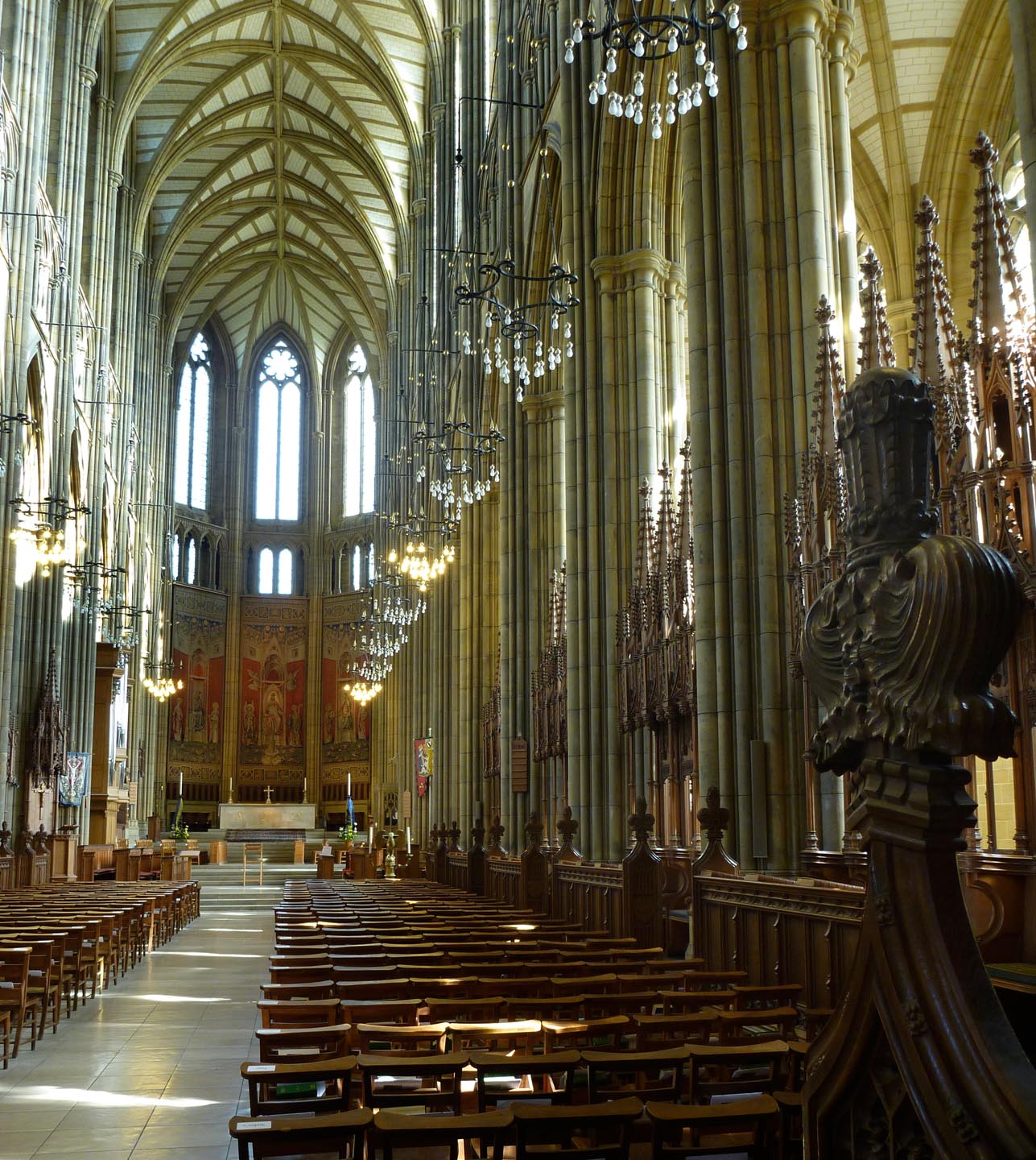 Lancing College Chapel |
Alan McFaden |
Friday 7th of November 2014 05:33:52 PM |
 Saint Mary and Saint Nicolas College |
Alan McFaden |
Friday 7th of November 2014 05:33:22 PM |


