
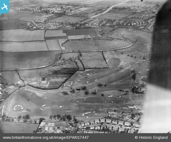
epw017447 ENGLAND (1927). Northenden Golf Course and environs, Northenden, 1927
© Copyright OpenStreetMap contributors and licensed by the OpenStreetMap Foundation. 2024. Cartography is licensed as CC BY-SA.
Nearby Images (2)
EPW017447

EPW041527

Details
| Title | [EPW017447] Northenden Golf Course and environs, Northenden, 1927 |
| Reference | EPW017447 |
| Date | 8-March-1927 |
| Link | |
| Place name | NORTHENDEN |
| Parish | |
| District | |
| Country | ENGLAND |
| Easting / Northing | 383019, 391049 |
| Longitude / Latitude | -2.2555165806484, 53.415713388664 |
| National Grid Reference | SJ830910 |
Pins
 John Ellis |
Saturday 17th of November 2012 08:24:28 PM | |
John Ellis |
Saturday 17th of November 2012 08:23:27 PM | |
John Ellis |
Saturday 17th of November 2012 08:19:59 PM | |
John Ellis |
Wednesday 11th of July 2012 09:14:15 AM | |
John Ellis |
Tuesday 10th of July 2012 10:30:56 PM | |
John Ellis |
Tuesday 10th of July 2012 10:18:24 PM | |
John Ellis |
Tuesday 10th of July 2012 10:17:07 PM | |
John Ellis |
Tuesday 10th of July 2012 10:16:08 PM | |
John Ellis |
Sunday 1st of July 2012 10:41:15 PM | |
John Ellis |
Sunday 1st of July 2012 10:40:21 PM | |
John Ellis |
Sunday 1st of July 2012 10:38:26 PM | |
John Ellis |
Sunday 1st of July 2012 10:37:28 PM | |
John Ellis |
Sunday 1st of July 2012 10:36:13 PM | |
John Ellis |
Sunday 1st of July 2012 10:35:22 PM | |
John Ellis |
Sunday 1st of July 2012 10:34:14 PM | |
John Ellis |
Sunday 1st of July 2012 10:32:58 PM | |
John Ellis |
Sunday 1st of July 2012 10:32:15 PM |


