
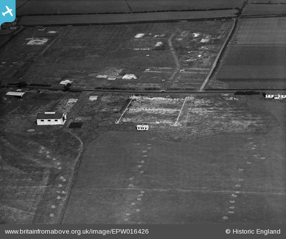
epw016426 ENGLAND (1926). The aerodrome, Cramlington, 1926
© Copyright OpenStreetMap contributors and licensed by the OpenStreetMap Foundation. 2024. Cartography is licensed as CC BY-SA.
Nearby Images (3)
EPW016426

EPW016424A

EPW016425

Details
| Title | [EPW016426] The aerodrome, Cramlington, 1926 |
| Reference | EPW016426 |
| Date | 29-July-1926 |
| Link | |
| Place name | CRAMLINGTON |
| Parish | CRAMLINGTON |
| District | |
| Country | ENGLAND |
| Easting / Northing | 424328, 577438 |
| Longitude / Latitude | -1.6187896886319, 55.090716462227 |
| National Grid Reference | NZ243774 |
Pins
Be the first to add a comment to this image!


