
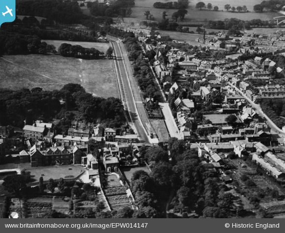
epw014147 ENGLAND (1925). High Street, Woolton, 1925. This image has been produced from a print.
© Copyright OpenStreetMap contributors and licensed by the OpenStreetMap Foundation. 2024. Cartography is licensed as CC BY-SA.
Details
| Title | [EPW014147] High Street, Woolton, 1925. This image has been produced from a print. |
| Reference | EPW014147 |
| Date | 27-August-1925 |
| Link | |
| Place name | WOOLTON |
| Parish | |
| District | |
| Country | ENGLAND |
| Easting / Northing | 342414, 386669 |
| Longitude / Latitude | -2.86565944002, 53.37347358595 |
| National Grid Reference | SJ424867 |
Pins
 Strider |
Sunday 1st of January 2023 08:27:38 PM | |
Kevin O'Hare |
Friday 27th of November 2015 10:24:38 PM | |
Kevin O'Hare |
Monday 3rd of August 2015 12:19:58 PM | |
Kevin O'Hare |
Monday 3rd of August 2015 12:18:35 PM | |
Kevin O'Hare |
Monday 3rd of August 2015 12:17:14 PM | |
Kevin O'Hare |
Monday 3rd of August 2015 12:15:12 PM | |
Kevin O'Hare |
Saturday 1st of August 2015 11:04:26 AM | |
Kevin O'Hare |
Saturday 1st of August 2015 11:03:52 AM | |
Kevin O'Hare |
Saturday 1st of August 2015 11:02:43 AM |


