
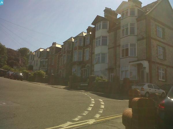
epw013664 ENGLAND (1925). The town centre, Swanage, 1925

© Copyright OpenStreetMap contributors and licensed by the OpenStreetMap Foundation. 2024. Cartography is licensed as CC BY-SA.
Nearby Images (6)
EPW013664

EPW013667

EPW013669

EAW030873

EPW013668

EPW000302

Details
| Title | [EPW013664] The town centre, Swanage, 1925 |
| Reference | EPW013664 |
| Date | June-1925 |
| Link | |
| Place name | SWANAGE |
| Parish | SWANAGE |
| District | |
| Country | ENGLAND |
| Easting / Northing | 403214, 78652 |
| Longitude / Latitude | -1.9545749684053, 50.60698928322 |
| National Grid Reference | SZ032787 |
Pins
 John W |
Thursday 12th of May 2016 04:14:05 PM | |
 Class31 |
Wednesday 14th of August 2013 08:41:27 PM | |
Class31 |
Saturday 6th of July 2013 09:21:22 PM | |
Class31 |
Saturday 6th of July 2013 09:20:13 PM | |
Class31 |
Saturday 6th of July 2013 08:49:33 PM | |
micky |
Monday 7th of January 2013 04:26:51 PM | |
micky |
Monday 7th of January 2013 04:25:54 PM | |
Class31 |
Monday 24th of September 2012 11:28:34 PM | |
Class31 |
Monday 24th of September 2012 11:26:50 PM |


User Comment Contributions
 Swanage Bay looking south. |
Class31 |
Saturday 6th of July 2013 09:01:36 PM |
 Swanage Bay looking south. |
Class31 |
Saturday 6th of July 2013 09:00:25 PM |
 Swanage Bay |
Class31 |
Saturday 6th of July 2013 08:58:42 PM |
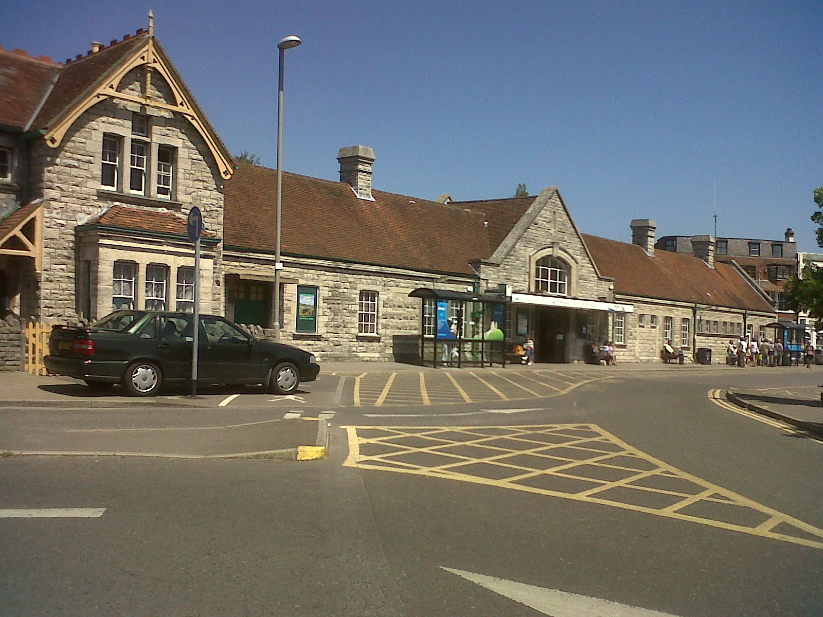 Swanage Station |
Class31 |
Saturday 6th of July 2013 08:51:20 PM |
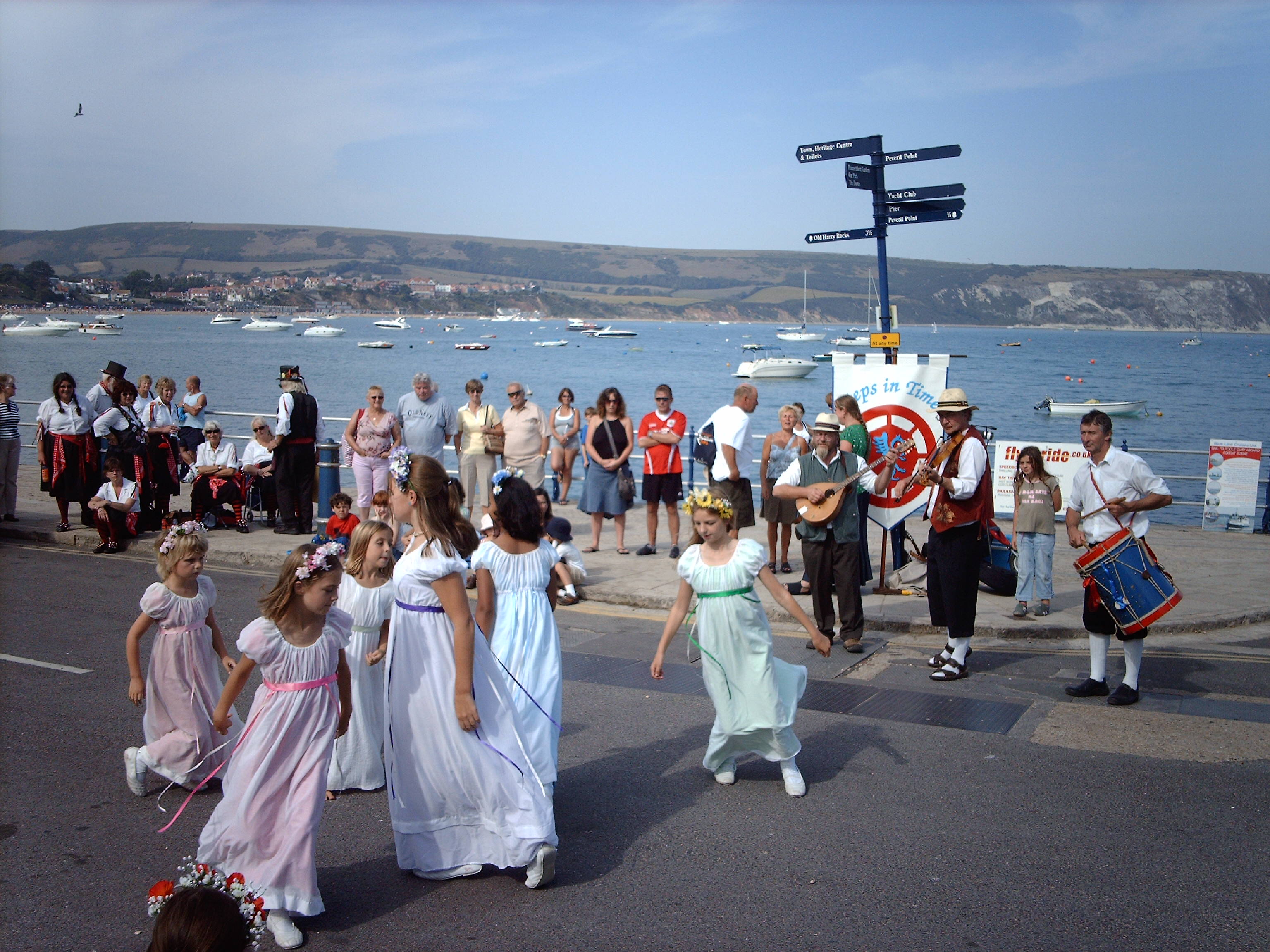 Recent Folk Dance Festival at Swanage |
Class31 |
Sunday 23rd of June 2013 06:21:25 PM |
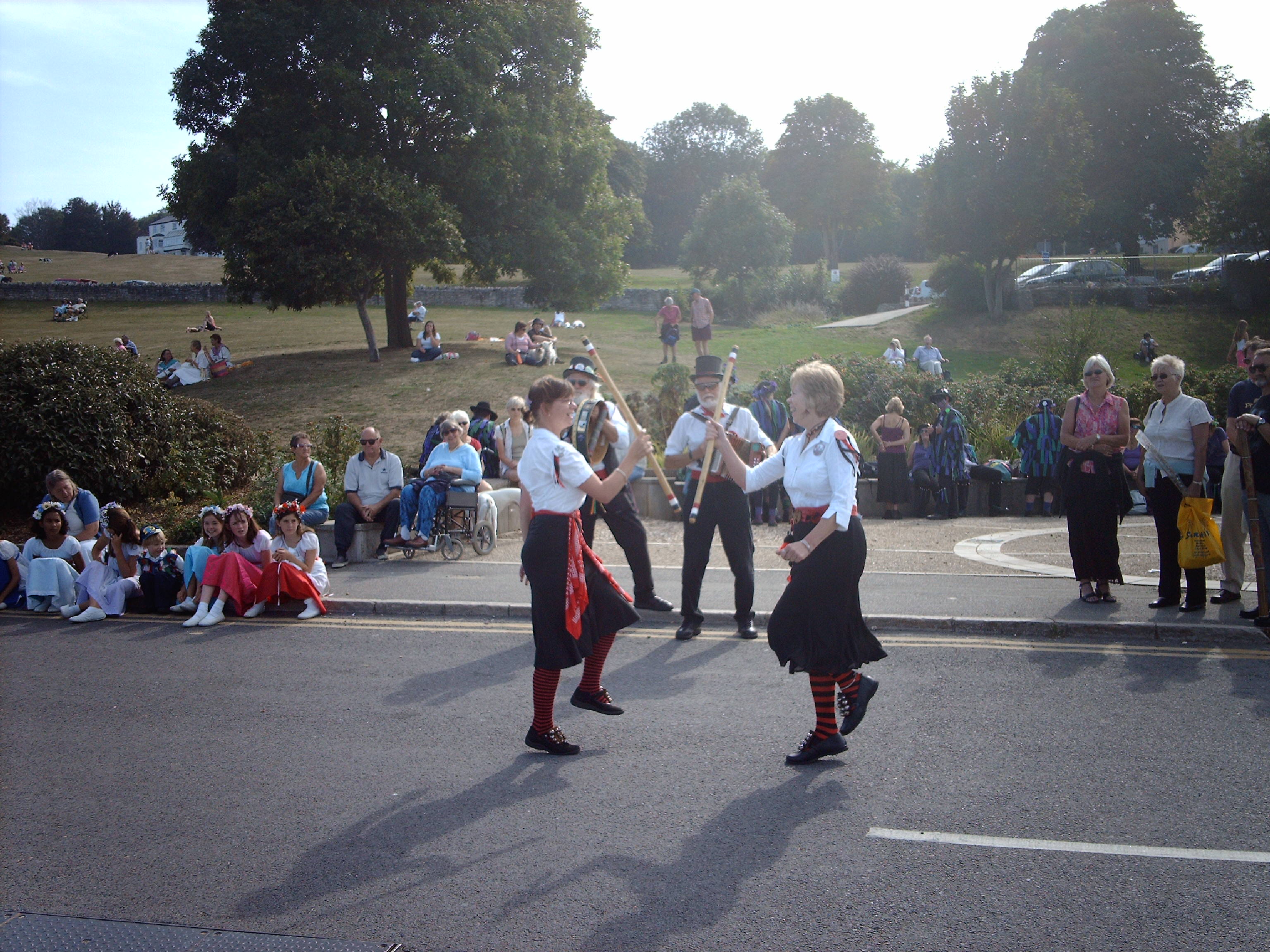 Recent Folk Dance Festival at Swanage |
Class31 |
Sunday 23rd of June 2013 06:19:24 PM |


