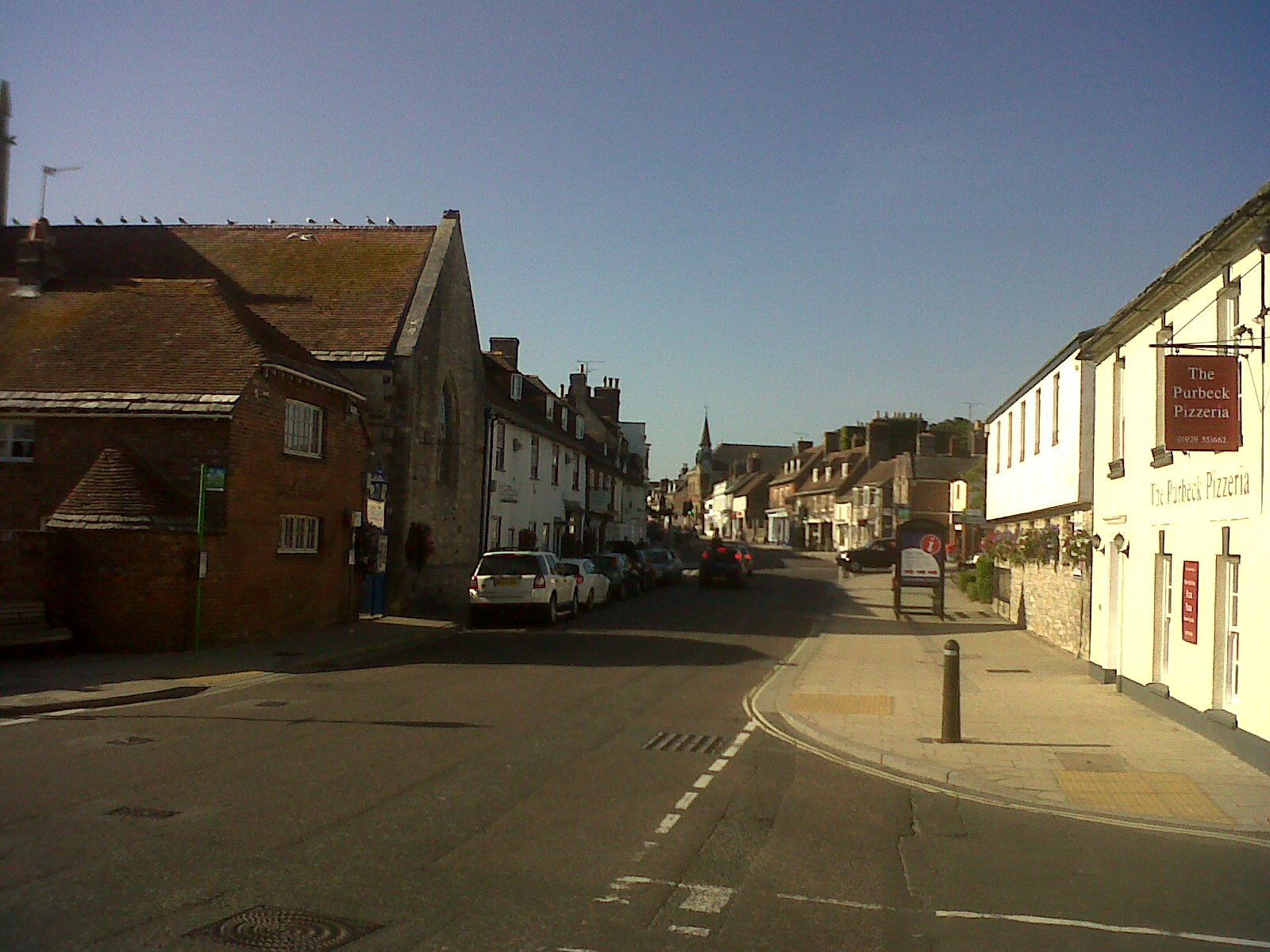
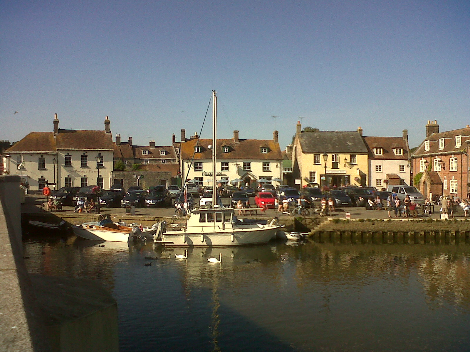
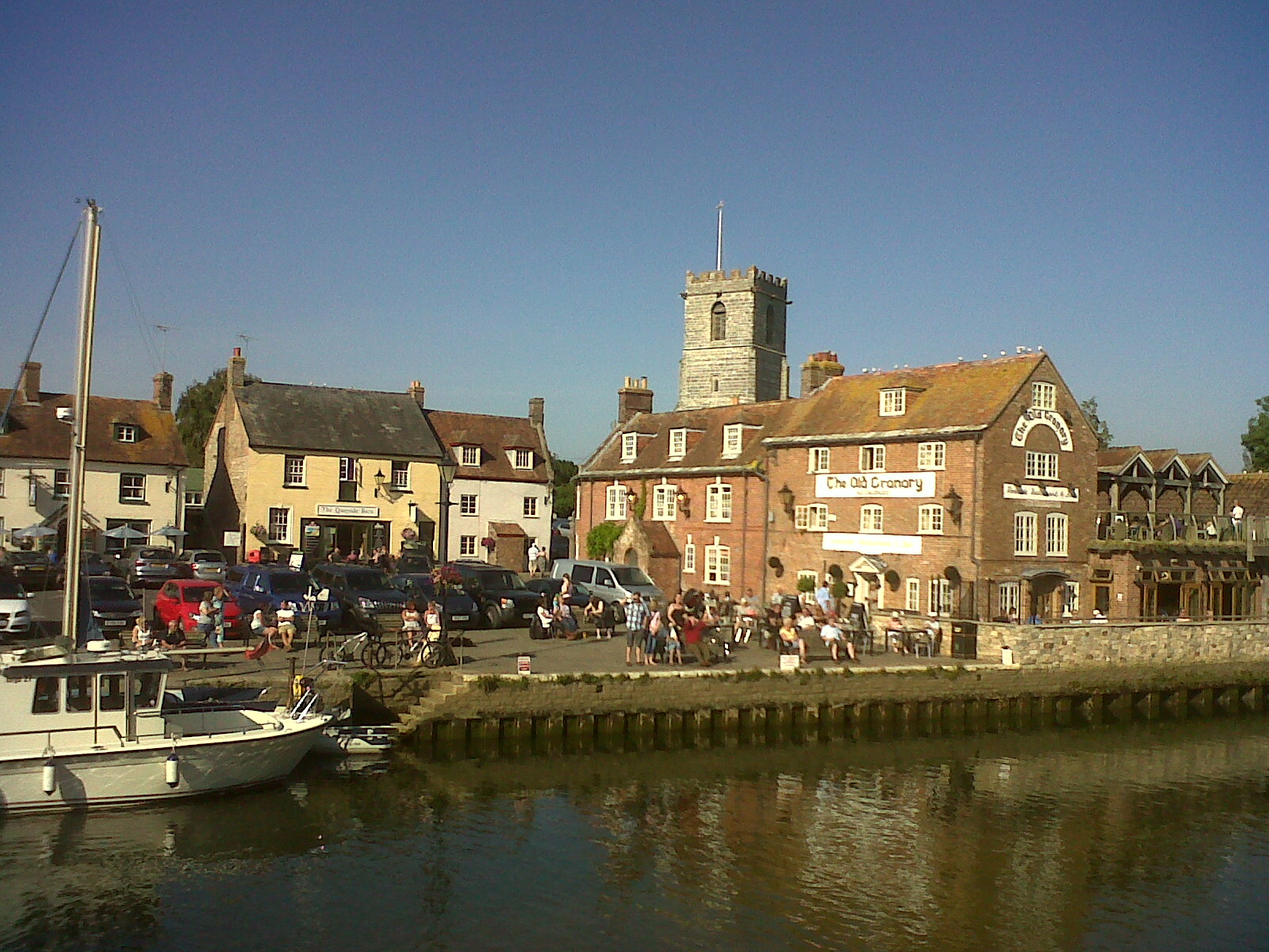
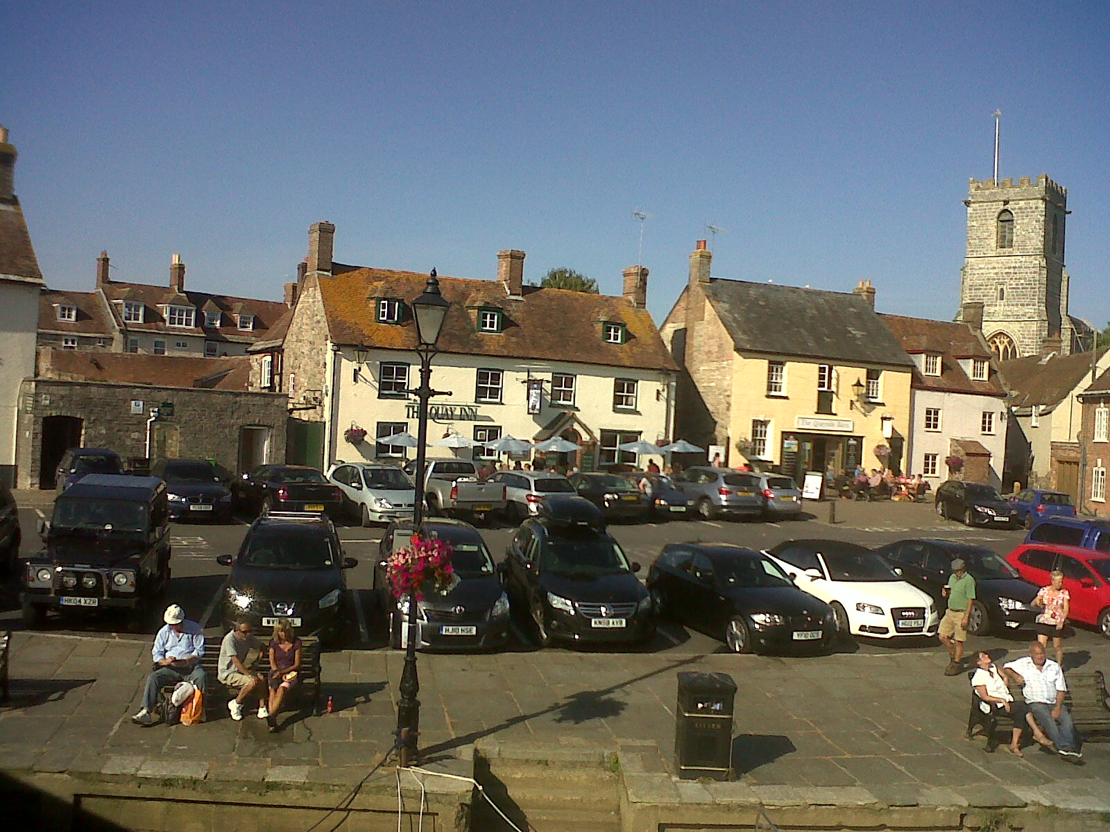
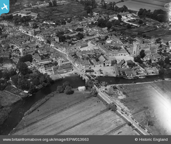
epw013663 ENGLAND (1925). South Bridge and The Quay, Wareham, 1925
© Copyright OpenStreetMap contributors and licensed by the OpenStreetMap Foundation. 2024. Cartography is licensed as CC BY-SA.
Nearby Images (13)
EPW013663

EPW013661

EPW032294

EAW018159

EAW018141

EAW018142

EPW061383

EPW061381

EPW061380

EPW061385

EPW061379

EPW061382

EPW061384

Details
| Title | [EPW013663] South Bridge and The Quay, Wareham, 1925 |
| Reference | EPW013663 |
| Date | June-1925 |
| Link | |
| Place name | WAREHAM |
| Parish | WAREHAM TOWN |
| District | |
| Country | ENGLAND |
| Easting / Northing | 392366, 87188 |
| Longitude / Latitude | -2.1080709210997, 50.683719328716 |
| National Grid Reference | SY924872 |
Pins
 alastair wallace |
Monday 19th of October 2015 08:09:21 PM | |
 Class31 |
Wednesday 8th of April 2015 04:36:43 PM | |
 Maurice |
Saturday 6th of July 2013 10:11:06 PM | |
Maurice |
Saturday 6th of July 2013 10:08:36 PM | |
Maurice |
Saturday 6th of July 2013 10:04:48 PM | |
Class31 |
Saturday 6th of July 2013 09:59:06 PM | |
micky |
Wednesday 3rd of April 2013 04:12:37 PM | |
micky |
Thursday 3rd of January 2013 12:29:09 PM | |
micky |
Thursday 3rd of January 2013 12:28:15 PM | |
micky |
Thursday 3rd of January 2013 12:27:09 PM | |
micky |
Thursday 3rd of January 2013 12:25:19 PM | |
micky |
Thursday 3rd of January 2013 12:24:23 PM | |
micky |
Thursday 3rd of January 2013 12:23:19 PM | |
micky |
Thursday 3rd of January 2013 12:22:48 PM | |
micky |
Wednesday 2nd of January 2013 08:02:26 AM | |
micky |
Wednesday 2nd of January 2013 08:01:35 AM |