
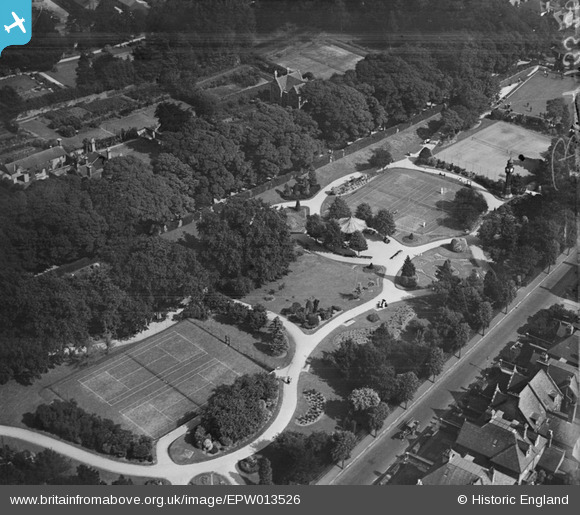
epw013526 ENGLAND (1925). Borough Gardens, Dorchester, 1925
© Copyright OpenStreetMap contributors and licensed by the OpenStreetMap Foundation. 2024. Cartography is licensed as CC BY-SA.
Nearby Images (6)
EPW013526

EPW049404

EPW049392

EPW013530

EPW013450

EPW049393

Details
| Title | [EPW013526] Borough Gardens, Dorchester, 1925 |
| Reference | EPW013526 |
| Date | June-1925 |
| Link | |
| Place name | DORCHESTER |
| Parish | DORCHESTER |
| District | |
| Country | ENGLAND |
| Easting / Northing | 368948, 90454 |
| Longitude / Latitude | -2.4398566247696, 50.712313291171 |
| National Grid Reference | SY689905 |
Pins
Be the first to add a comment to this image!


