
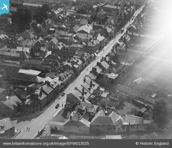
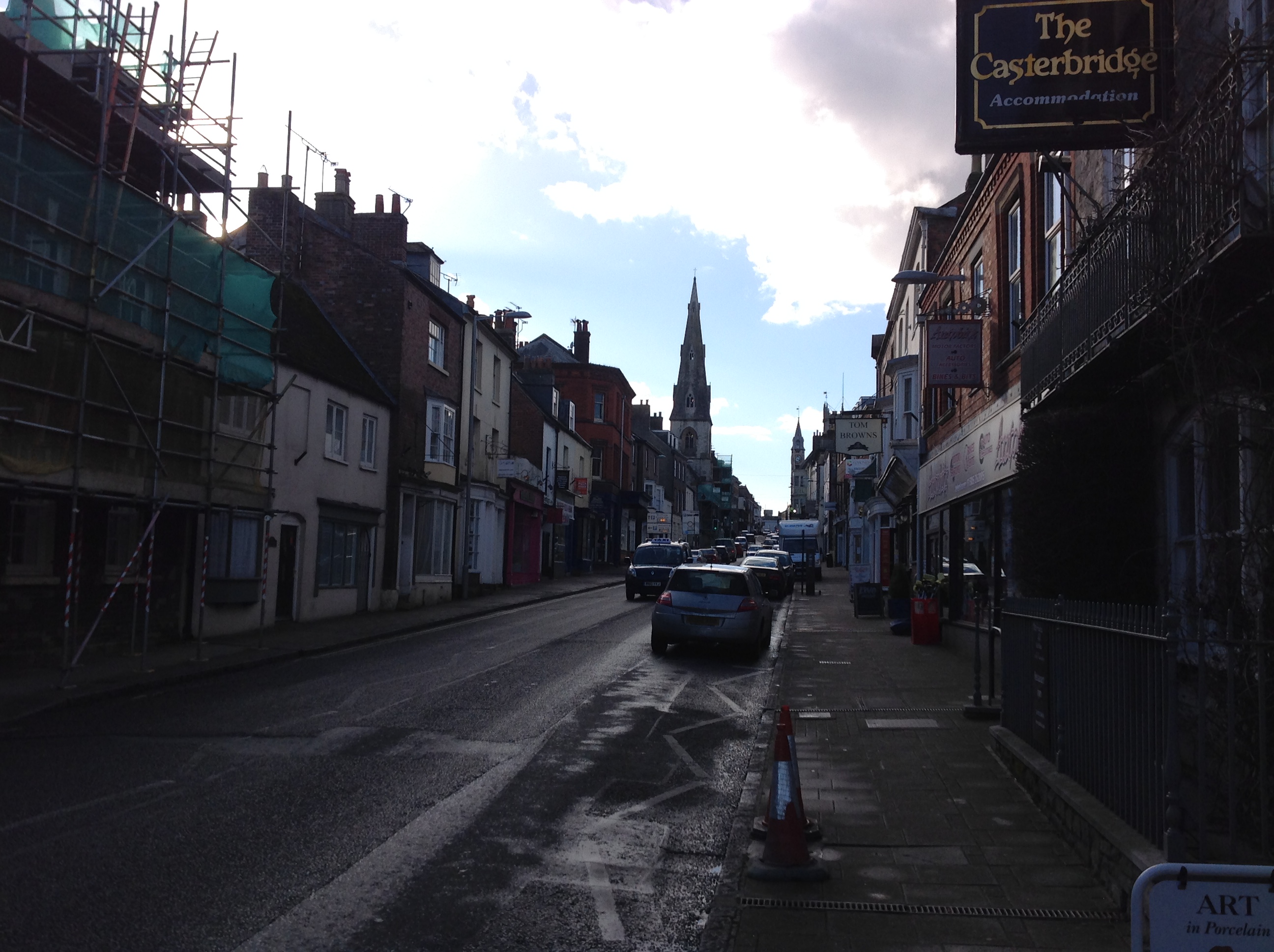
epw013525 ENGLAND (1925). High East Street, Dorchester, 1925
© Copyright OpenStreetMap contributors and licensed by the OpenStreetMap Foundation. 2024. Cartography is licensed as CC BY-SA.
Nearby Images (2)
EPW013525

EPW013527

Details
| Title | [EPW013525] High East Street, Dorchester, 1925 |
| Reference | EPW013525 |
| Date | June-1925 |
| Link | |
| Place name | DORCHESTER |
| Parish | DORCHESTER |
| District | |
| Country | ENGLAND |
| Easting / Northing | 369479, 90761 |
| Longitude / Latitude | -2.4323605528233, 50.715102417211 |
| National Grid Reference | SY695908 |
Pins
 alastair wallace |
Monday 19th of October 2015 07:28:36 PM | |
alastair wallace |
Monday 19th of October 2015 07:28:13 PM | |
 Class31 |
Monday 23rd of February 2015 09:22:34 AM | |
Class31 |
Monday 23rd of February 2015 09:12:42 AM |


User Comment Contributions
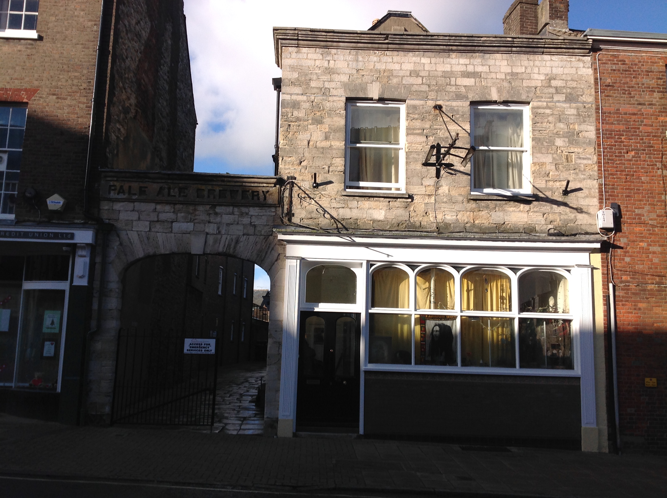
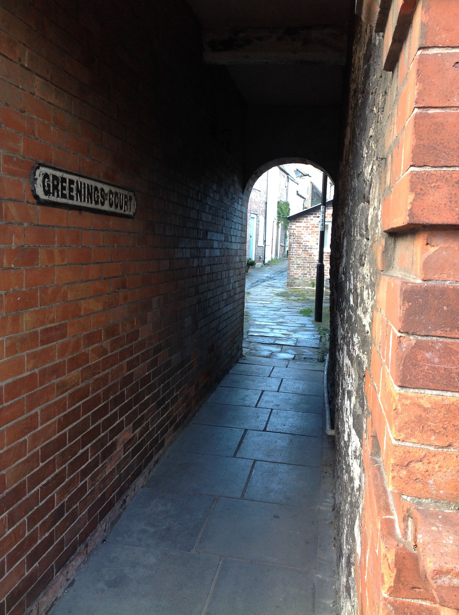 Greenings Court, High Street East, Dorchester, 21/02/2015 |
Class31 |
Monday 23rd of February 2015 09:24:12 AM |
 High Street East, Dorchester, 21/02/2015 |
Class31 |
Monday 23rd of February 2015 09:20:46 AM |
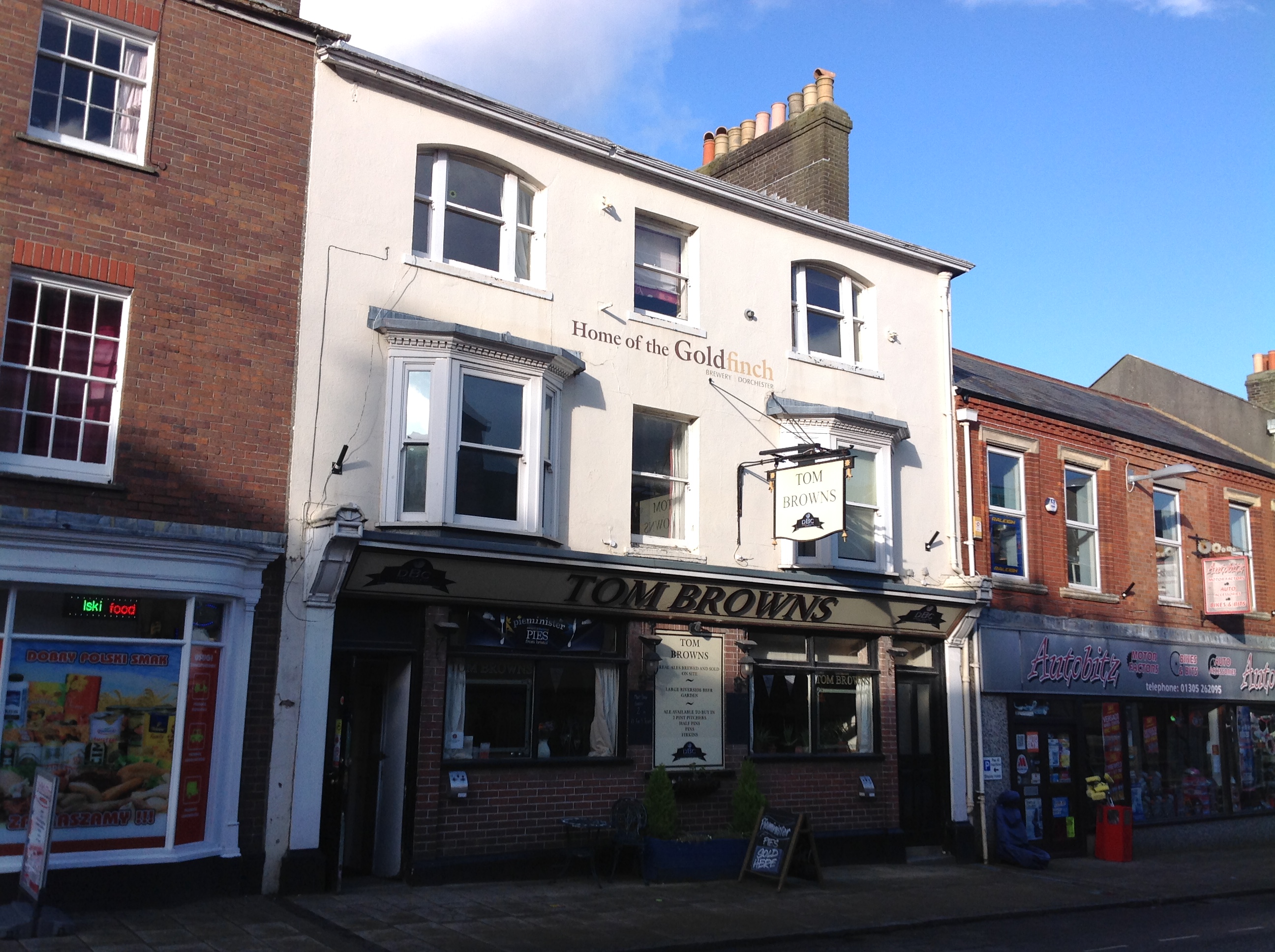 High Street East, Dorchester, 21/02/2015 |
Class31 |
Monday 23rd of February 2015 09:19:59 AM |
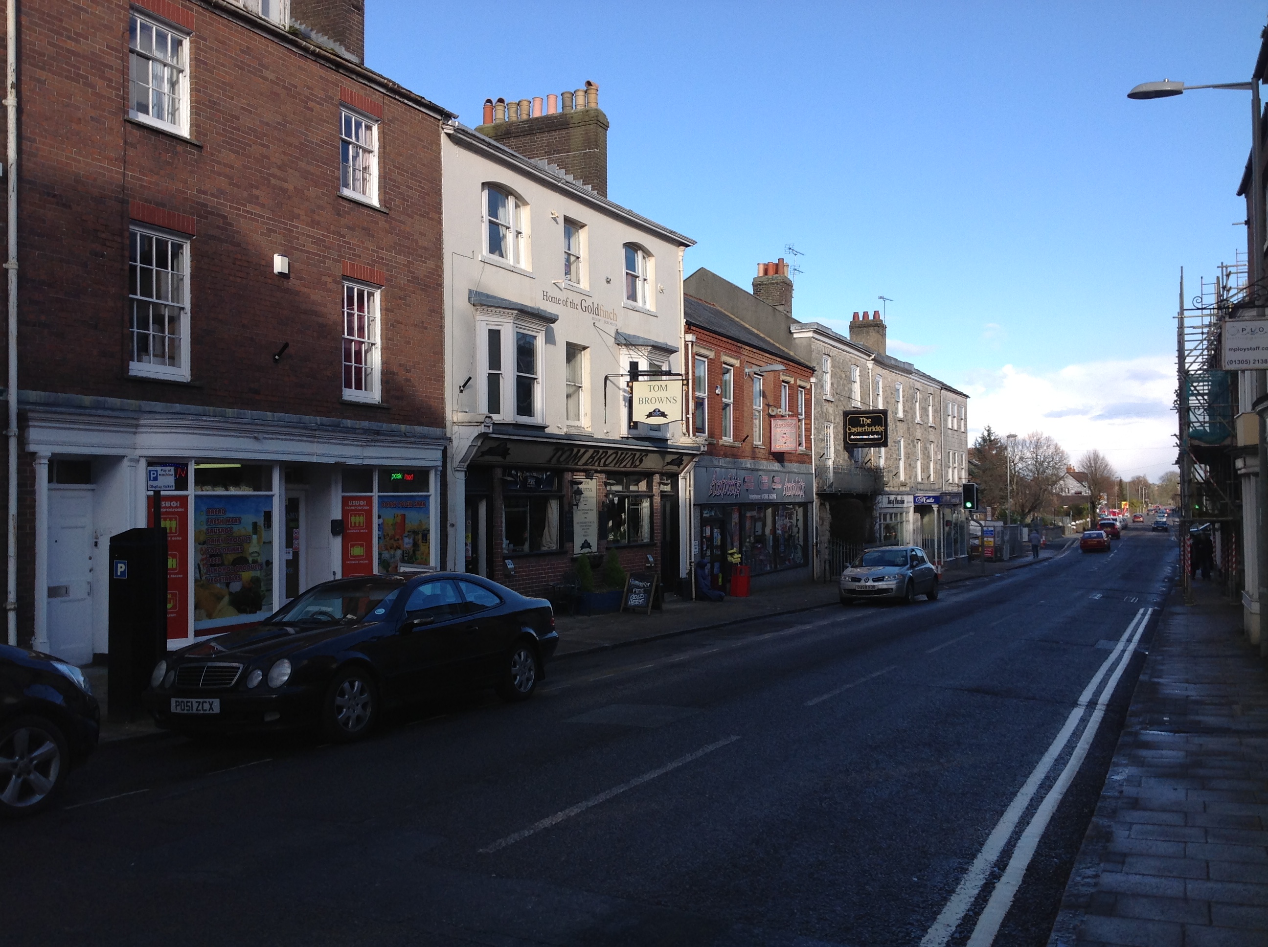 High Street East, Dorchester, 21/02/2015 |
Class31 |
Monday 23rd of February 2015 09:19:09 AM |
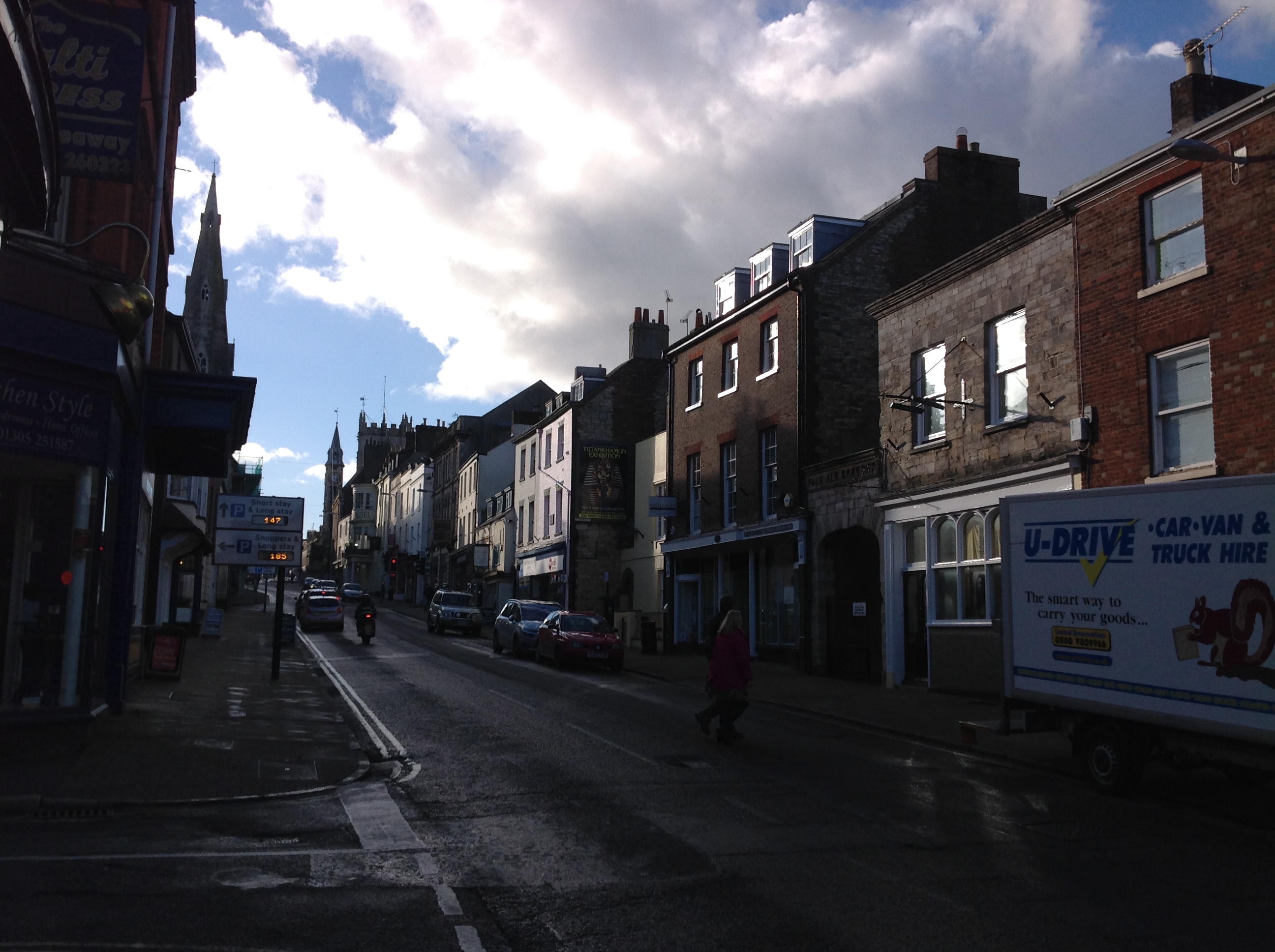 High Street East, Dorchester, 21/02/2015 |
Class31 |
Monday 23rd of February 2015 09:18:47 AM |
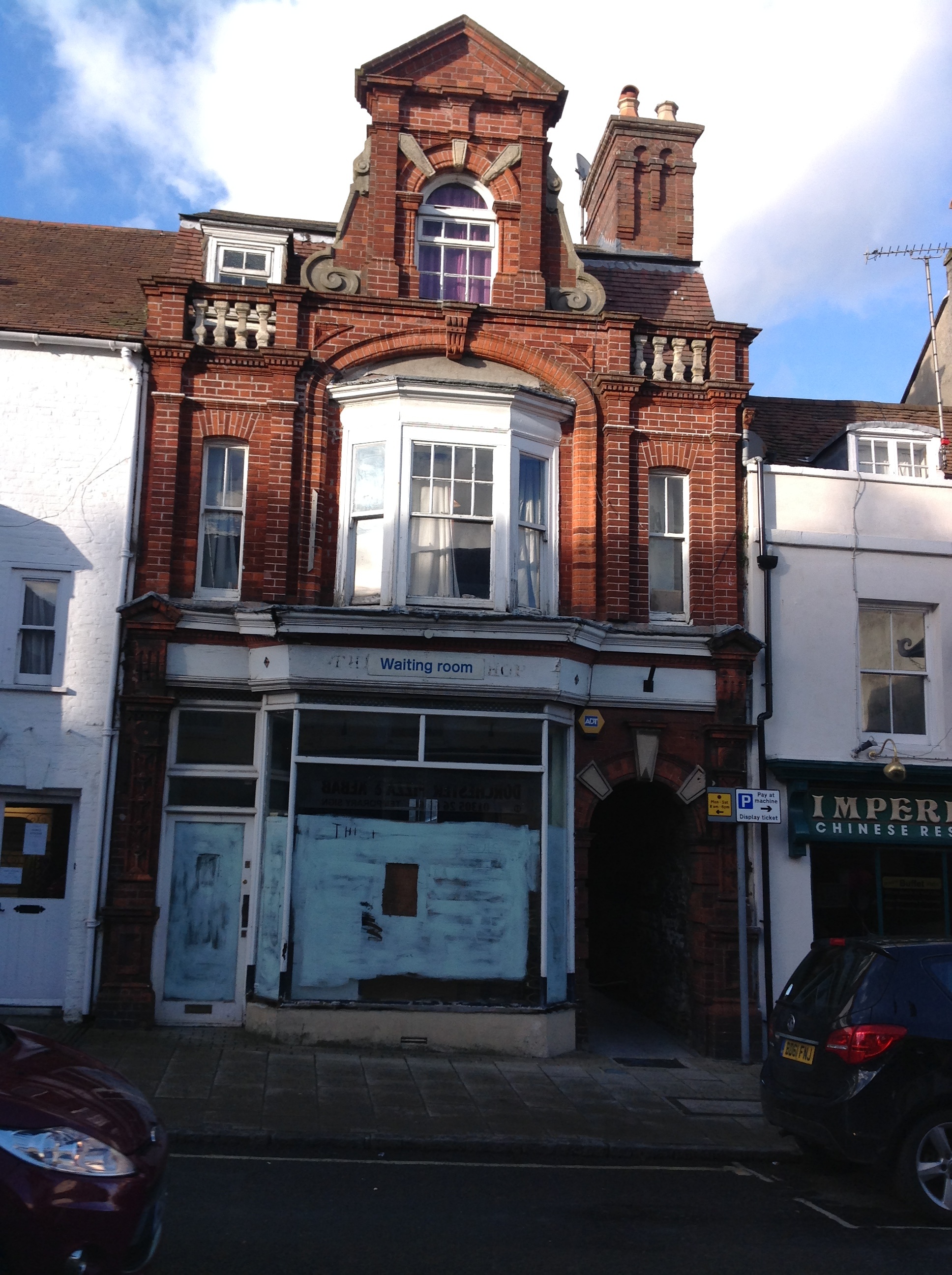 High Street East, Dorchester, 21/02/2015 |
Class31 |
Monday 23rd of February 2015 09:18:06 AM |
 High Street East, Dorchester, 21/02/2015 |
Class31 |
Monday 23rd of February 2015 09:16:35 AM |
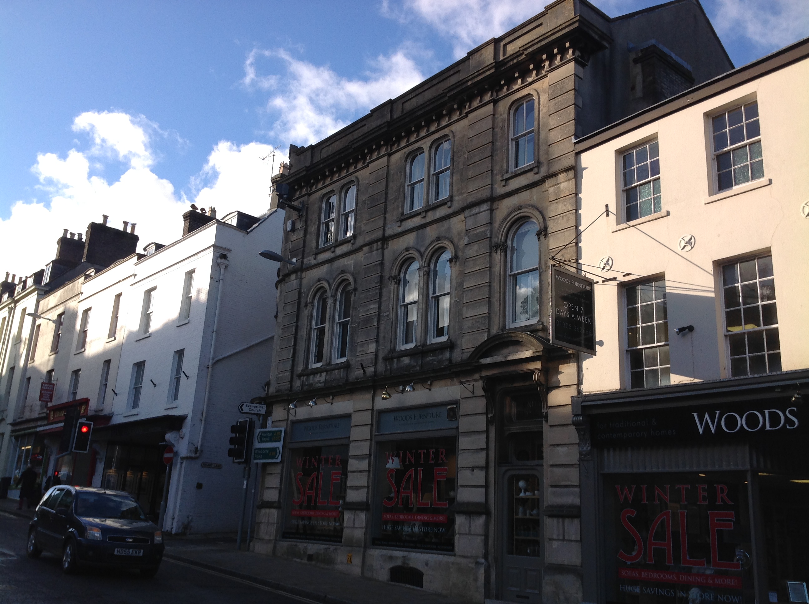 High Street East, Dorchester, 21/02/2015 |
Class31 |
Monday 23rd of February 2015 09:16:03 AM |
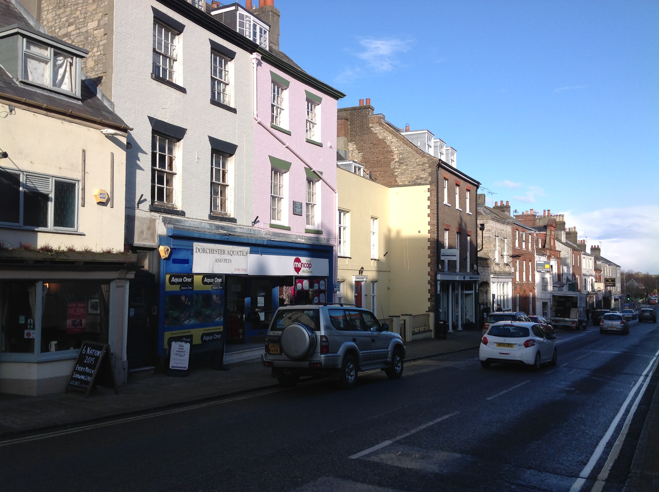 High Street East, Dorchester, 21/02/2015 |
Class31 |
Monday 23rd of February 2015 09:14:35 AM |
 High Street East, Dorchester, 21/02/2015 |
Class31 |
Monday 23rd of February 2015 09:13:38 AM |


