
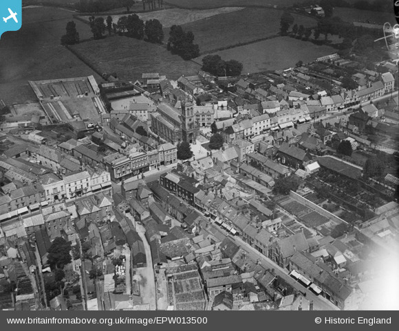
epw013500 ENGLAND (1925). St Paul's Church and the High Street, Honiton, 1925
© Copyright OpenStreetMap contributors and licensed by the OpenStreetMap Foundation. 2024. Cartography is licensed as CC BY-SA.
Nearby Images (7)
EPW013500

EPW023225

EPW023224

EAW051931

EPW013499

EAW051933

EAW051932

Details
| Title | [EPW013500] St Paul's Church and the High Street, Honiton, 1925 |
| Reference | EPW013500 |
| Date | June-1925 |
| Link | |
| Place name | HONITON |
| Parish | HONITON |
| District | |
| Country | ENGLAND |
| Easting / Northing | 316336, 100713 |
| Longitude / Latitude | -3.1873293036602, 50.799366772056 |
| National Grid Reference | ST163007 |


