
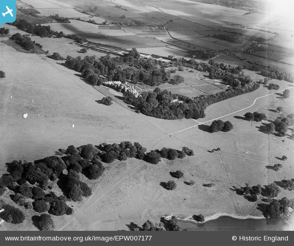
epw007177 ENGLAND (1921). General view of Eastwell Park House and grounds, Eastwell Park, 1921
© Copyright OpenStreetMap contributors and licensed by the OpenStreetMap Foundation. 2024. Cartography is licensed as CC BY-SA.
Nearby Images (7)
EPW007177

EPW007171

EPW007179

EPW007175

EPW007173

EPW007178

EPW007176

Details
| Title | [EPW007177] General view of Eastwell Park House and grounds, Eastwell Park, 1921 |
| Reference | EPW007177 |
| Date | 6-October-1921 |
| Link | |
| Place name | EASTWELL PARK |
| Parish | EASTWELL |
| District | |
| Country | ENGLAND |
| Easting / Northing | 601509, 147439 |
| Longitude / Latitude | 0.88407669179324, 51.190074184749 |
| National Grid Reference | TR015474 |
Pins
 DTulett |
Monday 28th of July 2014 11:42:27 PM | |
DTulett |
Monday 30th of June 2014 05:09:24 AM | |
DTulett |
Monday 30th of June 2014 04:44:46 AM | |
DTulett |
Monday 30th of June 2014 04:43:28 AM | |
DTulett |
Monday 30th of June 2014 04:42:44 AM | |
DTulett |
Monday 30th of June 2014 04:41:53 AM | |
DTulett |
Monday 30th of June 2014 04:41:11 AM | |
DTulett |
Monday 30th of June 2014 04:37:33 AM |


