
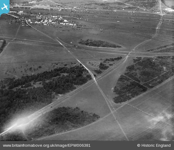
epw006381 ENGLAND (1921). Downland to the south of Epsom Racecourse, Walton Downs, 1921
© Copyright OpenStreetMap contributors and licensed by the OpenStreetMap Foundation. 2024. Cartography is licensed as CC BY-SA.
Nearby Images (6)
EPW006381

EPW035514

EPW035523

EPW007654

EAW048830

EAW000992

Details
| Title | [EPW006381] Downland to the south of Epsom Racecourse, Walton Downs, 1921 |
| Reference | EPW006381 |
| Date | 31-May-1921 |
| Link | |
| Place name | WALTON DOWNS |
| Parish | |
| District | |
| Country | ENGLAND |
| Easting / Northing | 521841, 157684 |
| Longitude / Latitude | -0.25192125735212, 51.30471212432 |
| National Grid Reference | TQ218577 |
Pins
Be the first to add a comment to this image!


