
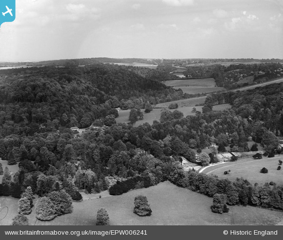
epw006241 ENGLAND (1921). View of Juniper Hill, Mickleham, from the south-west, 1921
© Copyright OpenStreetMap contributors and licensed by the OpenStreetMap Foundation. 2024. Cartography is licensed as CC BY-SA.
Nearby Images (2)
EPW006241

EPW001639

Details
| Title | [EPW006241] View of Juniper Hill, Mickleham, from the south-west, 1921 |
| Reference | EPW006241 |
| Date | 23-May-1921 |
| Link | |
| Place name | MICKLEHAM |
| Parish | MICKLEHAM |
| District | |
| Country | ENGLAND |
| Easting / Northing | 517167, 152424 |
| Longitude / Latitude | -0.32067406385159, 51.258411691652 |
| National Grid Reference | TQ172524 |
Pins
 nkingdon |
Monday 27th of October 2014 11:26:55 PM | |
nkingdon |
Monday 27th of October 2014 11:09:35 PM | |
nkingdon |
Monday 27th of October 2014 11:06:02 PM | |
nkingdon |
Monday 27th of October 2014 11:00:51 PM | |
rog8811 |
Wednesday 5th of September 2012 07:54:38 PM | |
rog8811 |
Wednesday 5th of September 2012 07:47:56 PM | |
I don't think this is Leatherhead, which would be further to the left (and a bit nearer). Instead, given the angles of this photo it looks more likely to be the Grandstand of Epsom Racecourse, shining brightly in the sunlight. Check out EPW006388 (and zoom in). |
nkingdon |
Monday 27th of October 2014 11:42:16 PM |


