
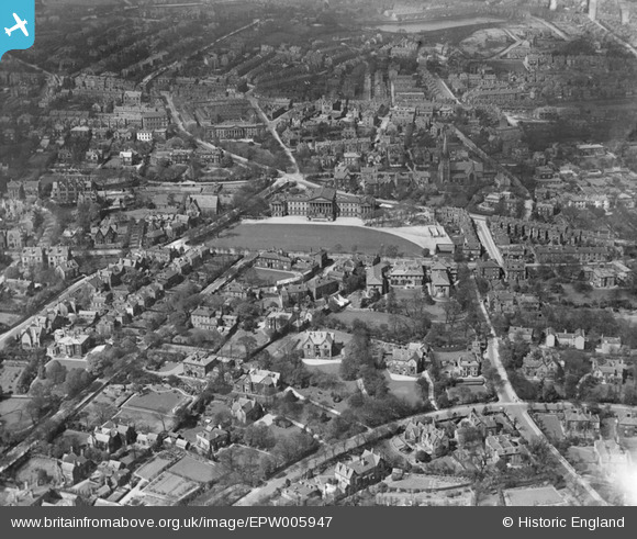
epw005947 ENGLAND (1921). King Edward VII School, Sheffield, 1921
© Copyright OpenStreetMap contributors and licensed by the OpenStreetMap Foundation. 2024. Cartography is licensed as CC BY-SA.
Nearby Images (2)
EPW005947

EAW031256

Details
| Title | [EPW005947] King Edward VII School, Sheffield, 1921 |
| Reference | EPW005947 |
| Date | 26-April-1921 |
| Link | |
| Place name | SHEFFIELD |
| Parish | |
| District | |
| Country | ENGLAND |
| Easting / Northing | 433724, 386634 |
| Longitude / Latitude | -1.493028092725, 53.375221093361 |
| National Grid Reference | SK337866 |
Pins
 pjl |
Sunday 4th of October 2015 07:58:43 PM | |
djlg |
Thursday 13th of November 2014 01:04:19 PM | |
Fantasma |
Friday 14th of March 2014 09:45:34 PM | |
Fantasma |
Friday 14th of March 2014 09:44:43 PM | |
Robderby |
Saturday 1st of September 2012 12:56:19 AM | |
Robderby |
Saturday 1st of September 2012 12:54:43 AM | |
Robderby |
Saturday 1st of September 2012 12:53:43 AM | |
Robderby |
Saturday 1st of September 2012 12:52:53 AM | |
flubber |
Monday 30th of July 2012 12:32:39 AM | |
flubber |
Monday 30th of July 2012 12:30:43 AM | |
flubber |
Monday 30th of July 2012 12:27:07 AM | |
flubber |
Monday 30th of July 2012 12:25:39 AM | |
flubber |
Monday 30th of July 2012 12:23:13 AM | |
flubber |
Monday 30th of July 2012 12:17:55 AM |


