
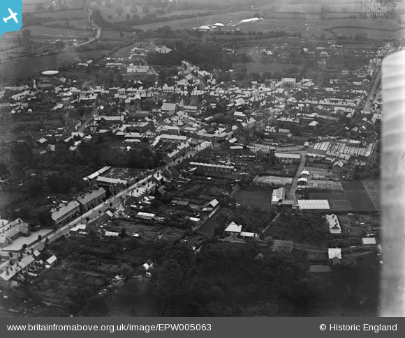
epw005063 ENGLAND (1920). General view of the town centre, Leominster, 1920
© Copyright OpenStreetMap contributors and licensed by the OpenStreetMap Foundation. 2024. Cartography is licensed as CC BY-SA.
Nearby Images (4)
EPW005063

EPW006998

EPW005064

EPW006996

Details
| Title | [EPW005063] General view of the town centre, Leominster, 1920 |
| Reference | EPW005063 |
| Date | September-1920 |
| Link | |
| Place name | LEOMINSTER |
| Parish | LEOMINSTER |
| District | |
| Country | ENGLAND |
| Easting / Northing | 349398, 258998 |
| Longitude / Latitude | -2.7409158706769, 52.22645845421 |
| National Grid Reference | SO494590 |


