
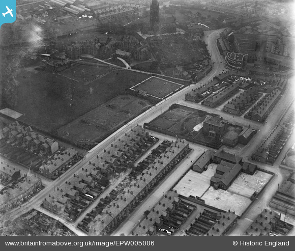
epw005006 ENGLAND (1920). The Training College, St Elphin's Church and Fairfield Hall, Warrington, 1920
© Copyright OpenStreetMap contributors and licensed by the OpenStreetMap Foundation. 2024. Cartography is licensed as CC BY-SA.
Nearby Images (15)
EPW005006

EAW020961

EAW020964

EAW020966

EAW020965

EAW020976

EAW020973

EAW020977

EAW020972

EAW020962

EAW020974

EAW020975

EAW020969

EAW020968

EAW020967

Details
| Title | [EPW005006] The Training College, St Elphin's Church and Fairfield Hall, Warrington, 1920 |
| Reference | EPW005006 |
| Date | August-1920 |
| Link | |
| Place name | WARRINGTON |
| Parish | |
| District | |
| Country | ENGLAND |
| Easting / Northing | 361578, 388670 |
| Longitude / Latitude | -2.5778408646292, 53.393202266367 |
| National Grid Reference | SJ616887 |
Pins
 Bottom Yard |
Sunday 13th of January 2019 11:37:21 AM | |
Bottom Yard |
Sunday 13th of January 2019 11:27:40 AM | |
Bottom Yard |
Sunday 13th of January 2019 11:25:30 AM | |
Bottom Yard |
Sunday 13th of January 2019 11:23:14 AM | |
Bottom Yard |
Sunday 13th of January 2019 11:09:48 AM | |
Bottom Yard |
Sunday 13th of January 2019 11:06:17 AM | |
Bottom Yard |
Sunday 13th of January 2019 11:04:49 AM | |
Sarah |
Wednesday 27th of December 2017 03:09:17 PM | |
janeeliza |
Sunday 6th of July 2014 12:51:45 PM | |
RingoDave |
Friday 6th of September 2013 12:32:49 AM | |
RingoDave |
Friday 6th of September 2013 12:28:36 AM | |
RingoDave |
Friday 6th of September 2013 12:26:45 AM |


