
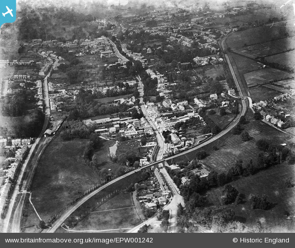
epw001242 ENGLAND (1920). View of Hemel Hempstead, Hemel Hempstead, 1920
© Copyright OpenStreetMap contributors and licensed by the OpenStreetMap Foundation. 2024. Cartography is licensed as CC BY-SA.
Nearby Images (4)
EPW001242

EPW001245

EPW022458

EPW022455

Details
| Title | [EPW001242] View of Hemel Hempstead, Hemel Hempstead, 1920 |
| Reference | EPW001242 |
| Date | May-1920 |
| Link | |
| Place name | HEMEL HEMPSTEAD |
| Parish | |
| District | |
| Country | ENGLAND |
| Easting / Northing | 505543, 206727 |
| Longitude / Latitude | -0.47095758458701, 51.748830188912 |
| National Grid Reference | TL055067 |


